Urbex & Abandoned
Prince of Wales Colliery
West Yorkshire, United Kingdom
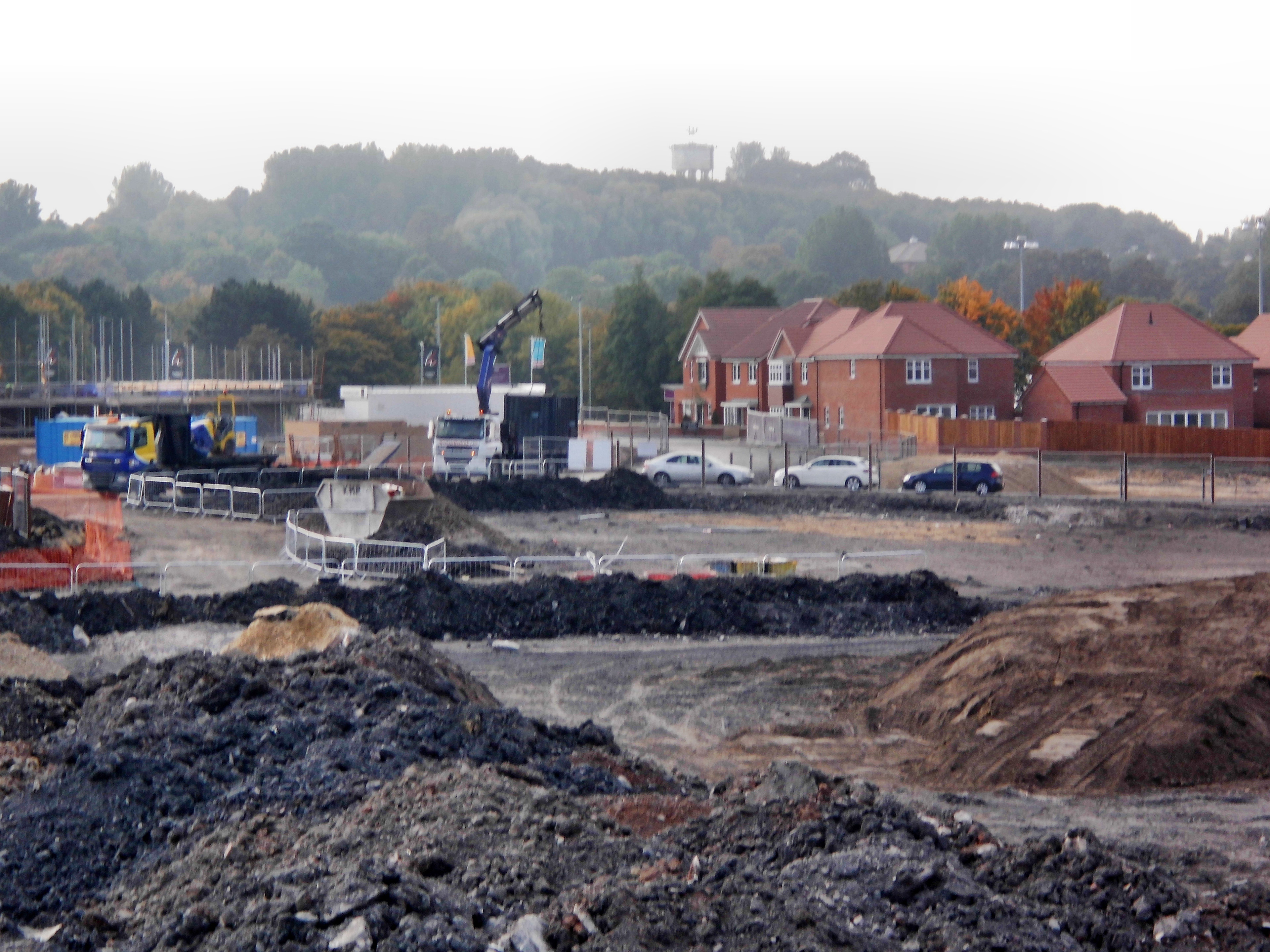
The Prince of Wales Colliery was a coal mine that operated for over 130 years in Pontefract, West Yorkshire, England. It was permanently closed in 2002 after geological problems were found to make accessing remaining coal reserves unprofitable, and most of the site was later converted for housing.
- Category
- Urbex & Abandoned
- Location
- West Yorkshire, United Kingdom
- Coordinates
- 53.70400, -1.31900
- How to get there
- Google MapsApple MapsOpenStreetMap
- Wikidata
- Q97332858
What is Prince of Wales Colliery?
Prince of Wales Colliery is a Urbex & Abandoned place on VeroMaps. Other places close by: Pontefract Castle, Fairburn Ings RSPB reserve, Kellingley Colliery, Walton Hall.
Where is Prince of Wales Colliery?
Prince of Wales Colliery is in West Yorkshire, United Kingdom. Coordinates: 53.70400, -1.31900.
How do I get to Prince of Wales Colliery?
Prince of Wales Colliery is at West Yorkshire, United Kingdom (53.70400, -1.31900). Enter these coordinates in Google Maps, Apple Maps or OpenStreetMap for walking, cycling or driving directions.