Urbex & Abandoned
Barrow Colliery
South Yorkshire, United Kingdom
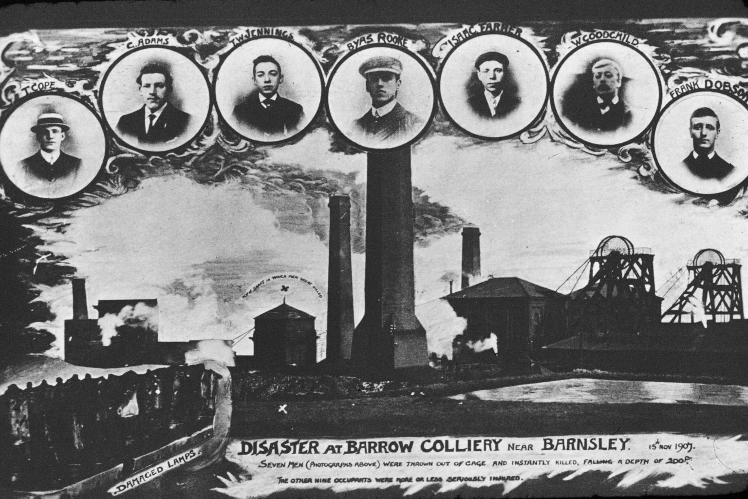
Barrow Colliery was a coal mine at Worsbrough Park, South Yorkshire, England. It was first dug in 1873, with the first coal being brought to the surface in January 1876. It was the scene of a major incident in 1907 when seven miners died. After 109 years of coaling operations, the mine was closed in May 1985.
- Category
- Urbex & Abandoned
- Location
- South Yorkshire, United Kingdom
- Coordinates
- 53.52194, -1.46122
- How to get there
- Google MapsApple MapsOpenStreetMap
- Wikidata
- Q55604935
What is Barrow Colliery?
Barrow Colliery is a Urbex & Abandoned place on VeroMaps. Other places close by: Houndhill, Hoober Stand, Whitley Hall, Walton Hall.
Where is Barrow Colliery?
Barrow Colliery is in South Yorkshire, United Kingdom. Coordinates: 53.52194, -1.46122.
How do I get to Barrow Colliery?
Barrow Colliery is at South Yorkshire, United Kingdom (53.52194, -1.46122). Enter these coordinates in Google Maps, Apple Maps or OpenStreetMap for walking, cycling or driving directions.