Urbex & Abandoned
Bentley Colliery
South Yorkshire, United Kingdom
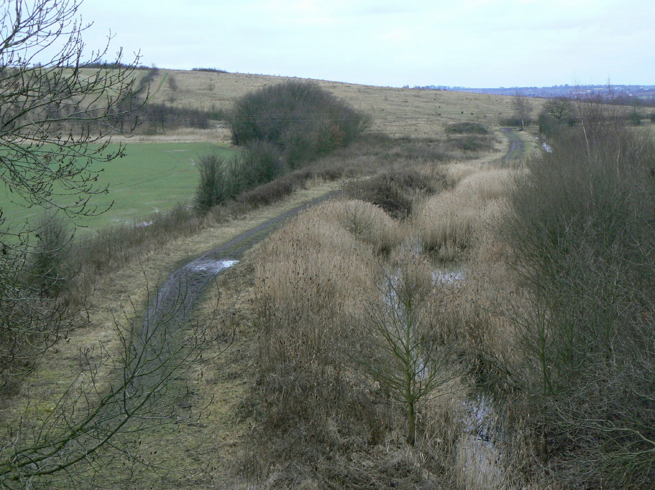
Bentley Colliery was a coal mine in Bentley, near Doncaster in South Yorkshire, England, that operated between 1906 and 1993. In common with many other mines, it suffered disasters and accidents. The worst Bentley disaster was in 1931, when 45 miners were killed after a gas explosion. The site of the mine has been converted into a woodland.
- Category
- Urbex & Abandoned
- Location
- South Yorkshire, United Kingdom
- Coordinates
- 53.56550, -1.14010
- How to get there
- Google MapsApple MapsOpenStreetMap
- Wikidata
- Q56277072
What is Bentley Colliery?
Bentley Colliery is a Urbex & Abandoned place on VeroMaps. Other places close by: Bullcroft Colliery, Cusworth Hall and Park, Hatfield Colliery, Conisbrough Castle.
Where is Bentley Colliery?
Bentley Colliery is in South Yorkshire, United Kingdom. Coordinates: 53.56550, -1.14010.
How do I get to Bentley Colliery?
Bentley Colliery is at South Yorkshire, United Kingdom (53.56550, -1.14010). Enter these coordinates in Google Maps, Apple Maps or OpenStreetMap for walking, cycling or driving directions.