Urbex & Abandoned
Caphouse Colliery
Sitlington, United Kingdom
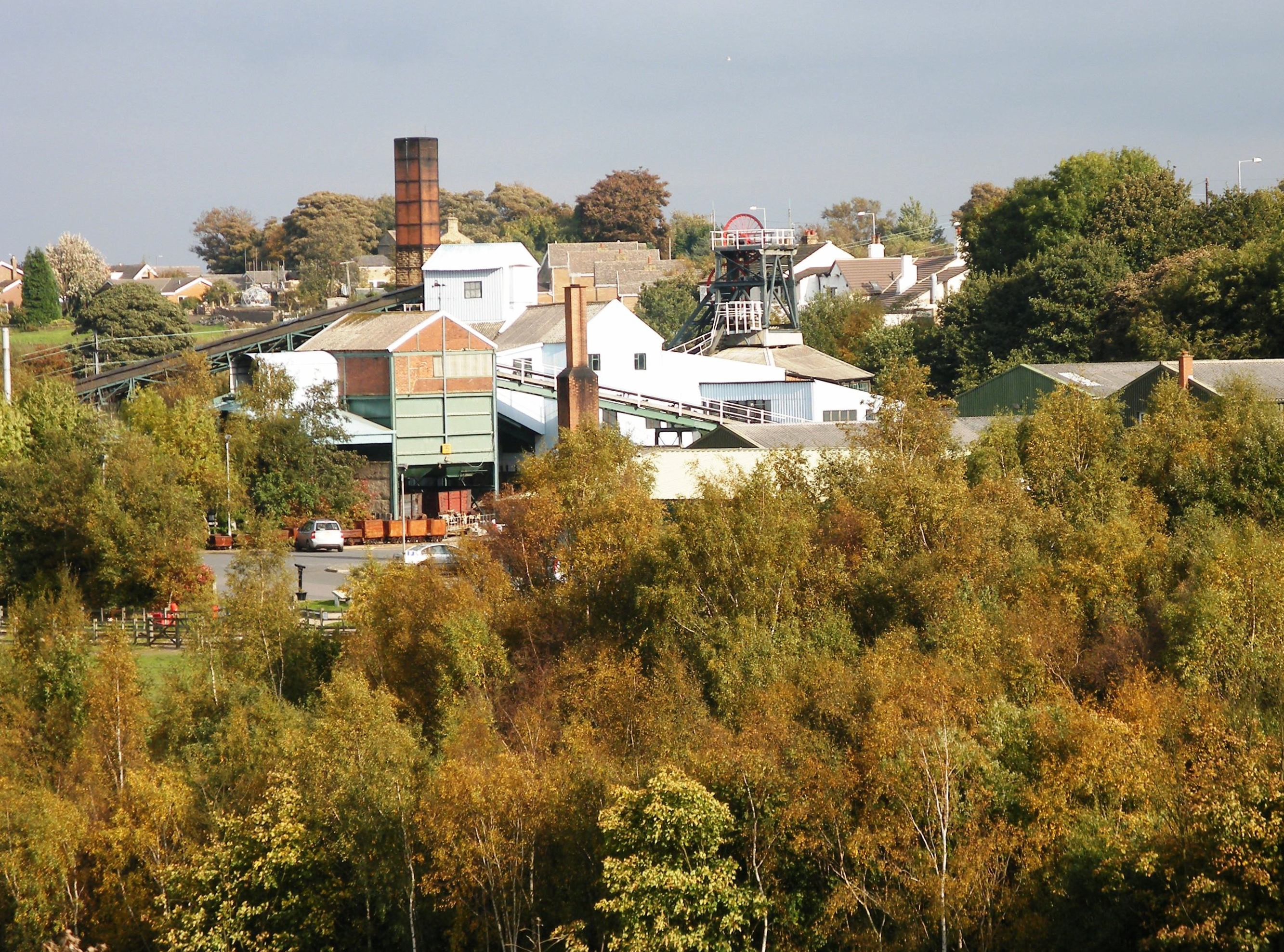
Caphouse Colliery, originally known as Overton Colliery, was a coal mine in Overton, near Wakefield, West Yorkshire, England. It was situated on the Denby Grange estate owned by the Lister Kaye family, and was worked from the 18th century until 1985. It reopened as the Yorkshire Mining Museum in 1988, and is now the National Coal Mining Museum for England.
- Category
- Urbex & Abandoned
- Location
- Sitlington, United Kingdom
- Coordinates
- 53.64330, -1.62110
- How to get there
- Google MapsApple MapsOpenStreetMap
- Wikidata
- Q5035323
What is Caphouse Colliery?
Caphouse Colliery is a Urbex & Abandoned place on VeroMaps. Other places close by: Emley Moor transmitting station, Sandal Castle, CCE Wakefield, Walton Hall.
Where is Caphouse Colliery?
Caphouse Colliery is in Sitlington, United Kingdom. Coordinates: 53.64330, -1.62110.
How do I get to Caphouse Colliery?
Caphouse Colliery is at Sitlington, United Kingdom (53.64330, -1.62110). Enter these coordinates in Google Maps, Apple Maps or OpenStreetMap for walking, cycling or driving directions.