Urbex & Abandoned
Knockdrum Stone Fort
County Cork, Ireland
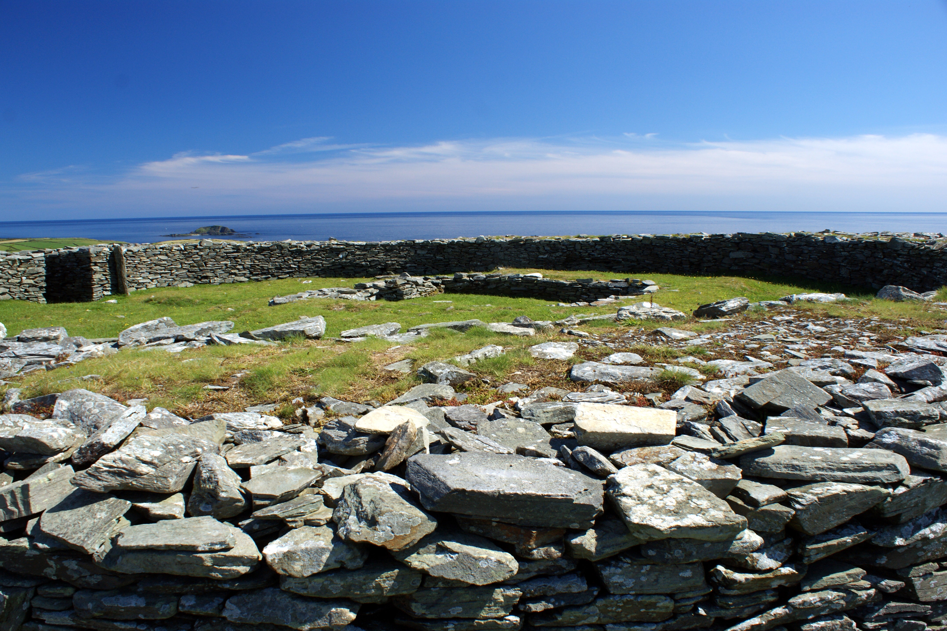
Knockdrum Stone Fort is a circular stone rath, ringfort, or hilltop fort near Castletownshend in County Cork, Ireland. It was restored before 1860, and there were archaeological excavations from 1930–31. The three-metre thick walls are reported as either 2 metres or 1.75 metres high depending on the source, and as 29 metres in diameter. The site is owned by the Irish Government which has declared it a national monument. Inside the fort are the stone foundations of a rectangular building with a souterrain, a type of structure characteristic of the European Iron Age, but often of later date in Ireland. There are cup marks both inside and outside the wall.
- Category
- Urbex & Abandoned
- Location
- County Cork, Ireland
- Coordinates
- 51.52650, -9.19370
- How to get there
- Google MapsApple MapsOpenStreetMap
- Wikidata
- Q24196450
What is Knockdrum Stone Fort?
Knockdrum Stone Fort is a Urbex & Abandoned place on VeroMaps. Other places close by: Coppingers Court, Galley Head Lighthouse, Copper Point Lighthouse, Cooradarrigan Stone.
Where is Knockdrum Stone Fort?
Knockdrum Stone Fort is in County Cork, Ireland. Coordinates: 51.52650, -9.19370.
How do I get to Knockdrum Stone Fort?
Knockdrum Stone Fort is at County Cork, Ireland (51.52650, -9.19370). Enter these coordinates in Google Maps, Apple Maps or OpenStreetMap for walking, cycling or driving directions.