Photo corners
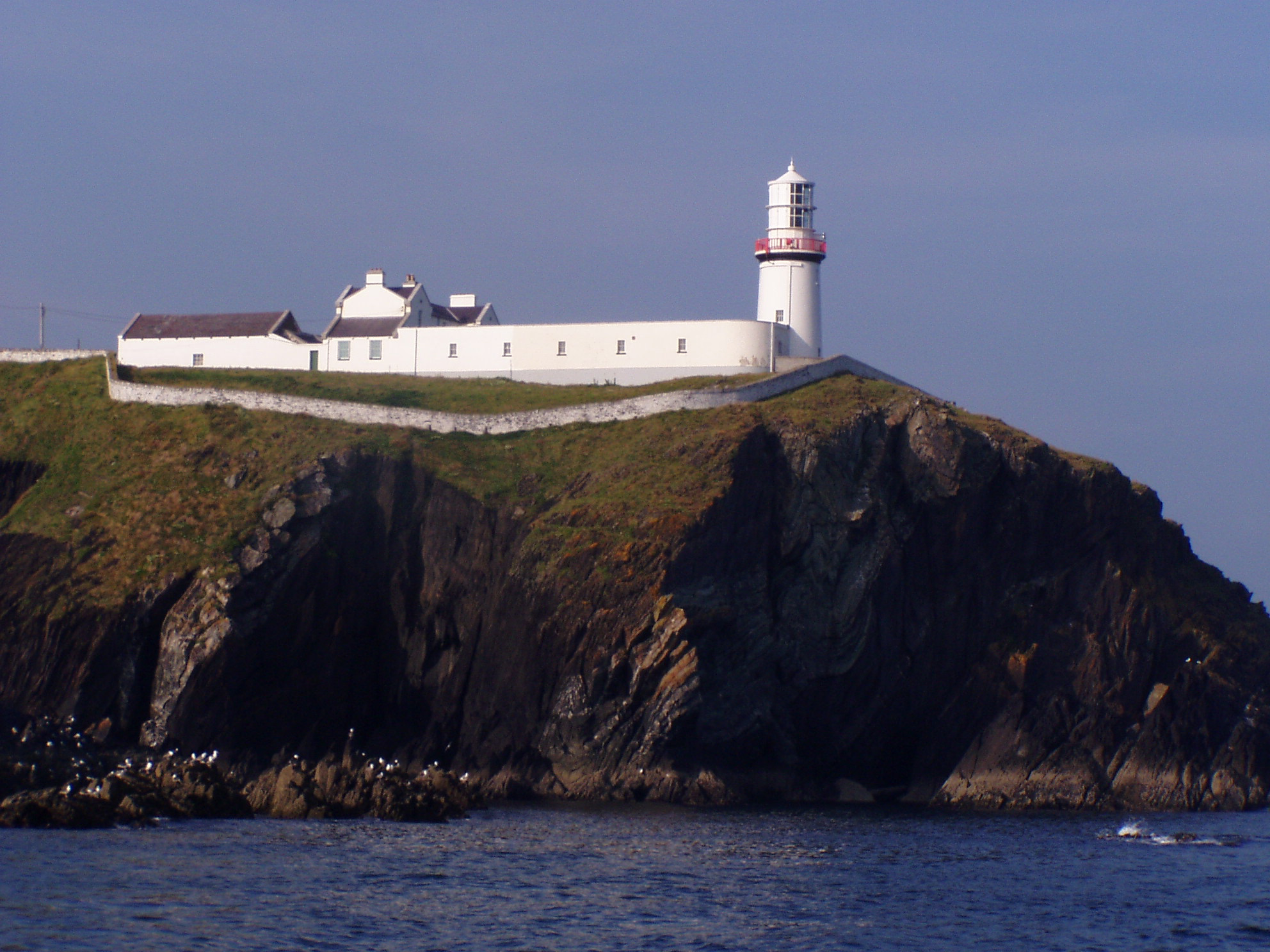
Galley Head Lighthouse
Derry, Ireland
The Galley Head Lighthouse is an active 19th century lighthouse outside of Rosscarbery, County Cork, on the south coast of Ireland. The lighthouse is situated on Galley Head at the southern end of the headland known as Dundeady island at 133 feet above sea level, overlooking the Celtic Sea and two beaches, Red Strand to the east and the Long Strand to the west. The headland is cut off from the mainland by the ancient walls of the old Norman stronghold of Dun Deidi, an important fortress of the local Ó Cobhthaigh Clan.
- Category
- Photo Spots
- Location
- Derry, Ireland
- Coordinates
- 51.52969, -8.95244
- How to get there
- Google MapsApple MapsOpenStreetMap
- Wikidata
- Q5519028
What is Galley Head Lighthouse?
Galley Head Lighthouse is a Photo Spots place on VeroMaps. Other places close by: Coppingers Court, Knockdrum Stone Fort, Old Head of Kinsale Lighthouse, The Diamond Bar.
Where is Galley Head Lighthouse?
Galley Head Lighthouse is in Derry, Ireland. Coordinates: 51.52969, -8.95244.
How do I get to Galley Head Lighthouse?
Galley Head Lighthouse is at Derry, Ireland (51.52969, -8.95244). Enter these coordinates in Google Maps, Apple Maps or OpenStreetMap for walking, cycling or driving directions.