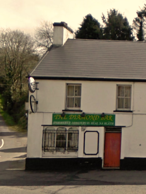
Night Life
The Diamond Bar
Oxford, Ireland
The Diamond Bar, formerly known as Long's Pub, is a historical site in Béal na Bláth in the townland of Glannarouge (Gleann na Ruaige), County Cork. The ambush that led to the death of the Irish leader Michael Collins was planned in a storehouse behind The Diamond Bar.
- Category
- Night Life
- Location
- Oxford, Ireland
- Coordinates
- 51.82178, -8.85556
- How to get there
- Google MapsApple MapsOpenStreetMap
- Wikidata
- Q22084291
What is The Diamond Bar?
The Diamond Bar is a Night Life place on VeroMaps. Other places close by: Ballincollig Castle, Blarney Castle, Franciscan Well, Ichigo Ichie.
Where is The Diamond Bar?
The Diamond Bar is in Oxford, Ireland. Coordinates: 51.82178, -8.85556.
How do I get to The Diamond Bar?
The Diamond Bar is at Oxford, Ireland (51.82178, -8.85556). Enter these coordinates in Google Maps, Apple Maps or OpenStreetMap for walking, cycling or driving directions.