Photo corners
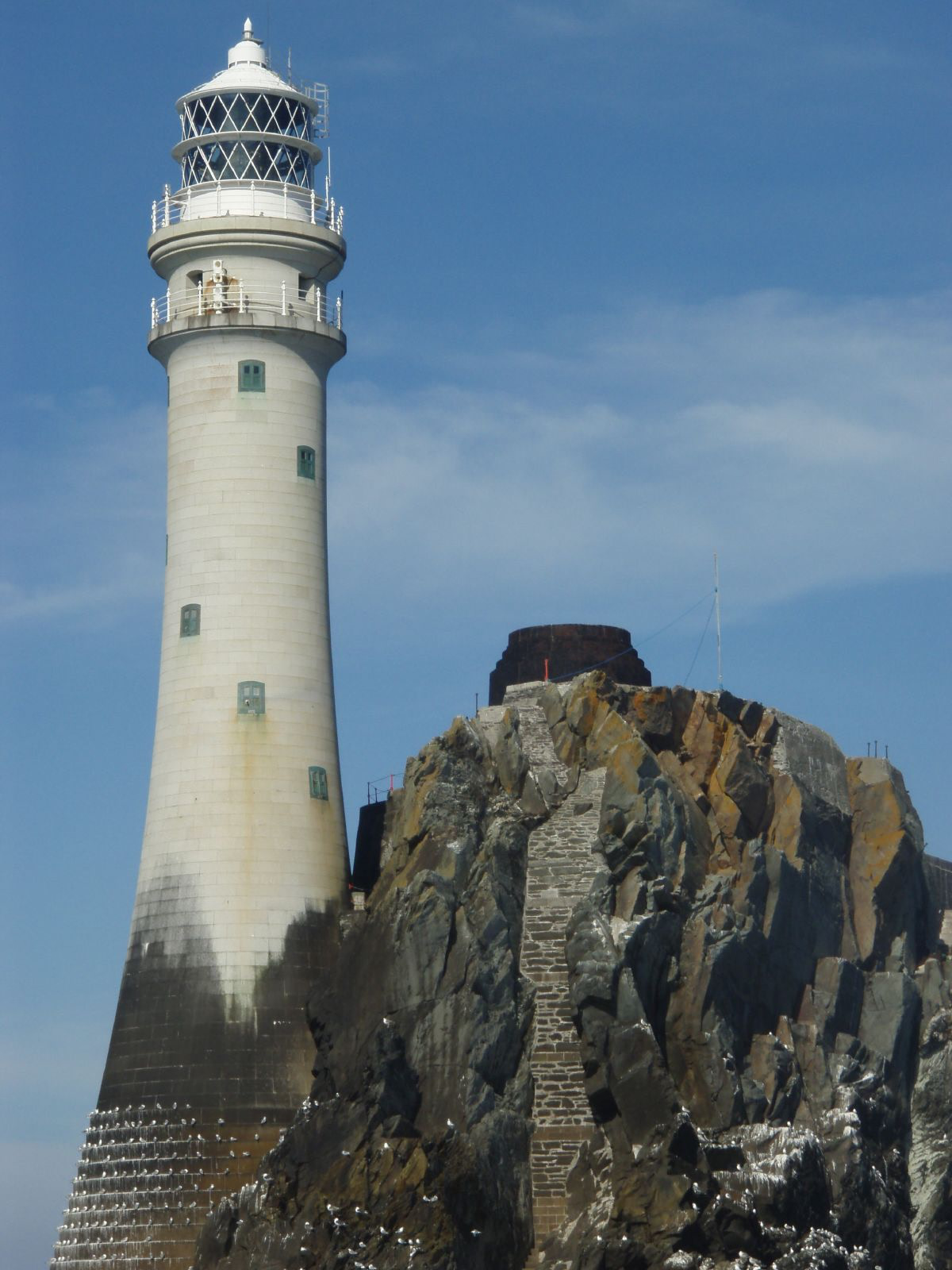
Fastnet Lighthouse (2nd)
Farranacoush, Ireland
The Fastnet Lighthouse is a 54-metre-tall (177-foot) lighthouse situated on the remote Fastnet Rock in the eastern Atlantic Ocean. It is the most southerly point of Ireland (including offshore islands) and lies 6.5 kilometres (4 miles) south-west of Cape Clear Island and 13 km (8 mi) from mainland County Cork. The current lighthouse is the second to be built on the rock, and is the tallest in Ireland.
- Category
- Photo Spots
- Location
- Farranacoush, Ireland
- Coordinates
- 51.39328, -9.60494
- How to get there
- Google MapsApple MapsOpenStreetMap
- Wikidata
- Q3067133
What is Fastnet Lighthouse (2nd)?
Fastnet Lighthouse (2nd) is a Photo Spots place on VeroMaps. Other places close by: Crookhaven Lighthouse, Copper Point Lighthouse, Cooradarrigan Stone, Mizen Head Lighthouse.
Where is Fastnet Lighthouse (2nd)?
Fastnet Lighthouse (2nd) is in Farranacoush, Ireland. Coordinates: 51.39328, -9.60494.
How do I get to Fastnet Lighthouse (2nd)?
Fastnet Lighthouse (2nd) is at Farranacoush, Ireland (51.39328, -9.60494). Enter these coordinates in Google Maps, Apple Maps or OpenStreetMap for walking, cycling or driving directions.