Forgotten History
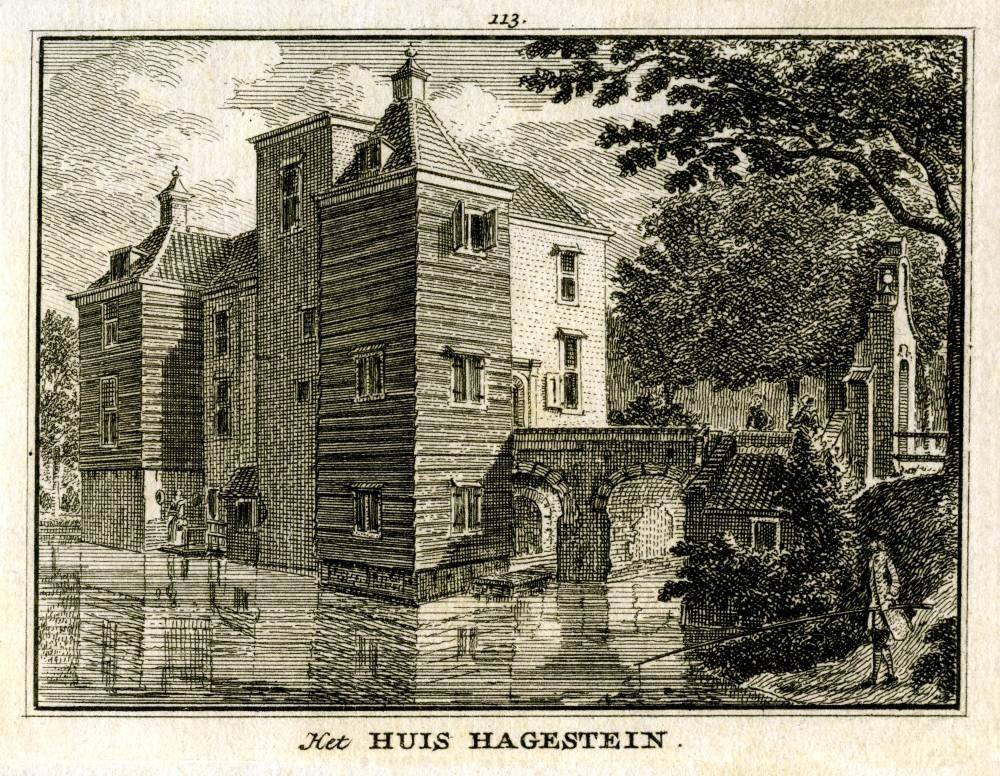
Kasteel Hagestein
Vianen, Netherlands
Hagestein Castle was a castle in Hagestein, municipality of Vijfheerenlanden, now located in Utrecht. The castle must have been built shortly before 1251 and was demolished in 1405.
- Category
- Forgotten History
- Location
- Vianen, Netherlands
- Coordinates
- 51.98441, 5.11994
- How to get there
- Google MapsApple MapsOpenStreetMap
- Wikidata
- Q2450144
What is Kasteel Hagestein?
Kasteel Hagestein is a Forgotten History place on VeroMaps. Other places close by: Hagesteinsebrug, Grote Kerk, Vianen, Blasenburg, Hervormde kerk.
Where is Kasteel Hagestein?
Kasteel Hagestein is in Vianen, Netherlands. Coordinates: 51.98441, 5.11994.
How do I get to Kasteel Hagestein?
Kasteel Hagestein is at Vianen, Netherlands (51.98441, 5.11994). Enter these coordinates in Google Maps, Apple Maps or OpenStreetMap for walking, cycling or driving directions.