Photo corners
Hockenhull Platts
Tarvin, United Kingdom
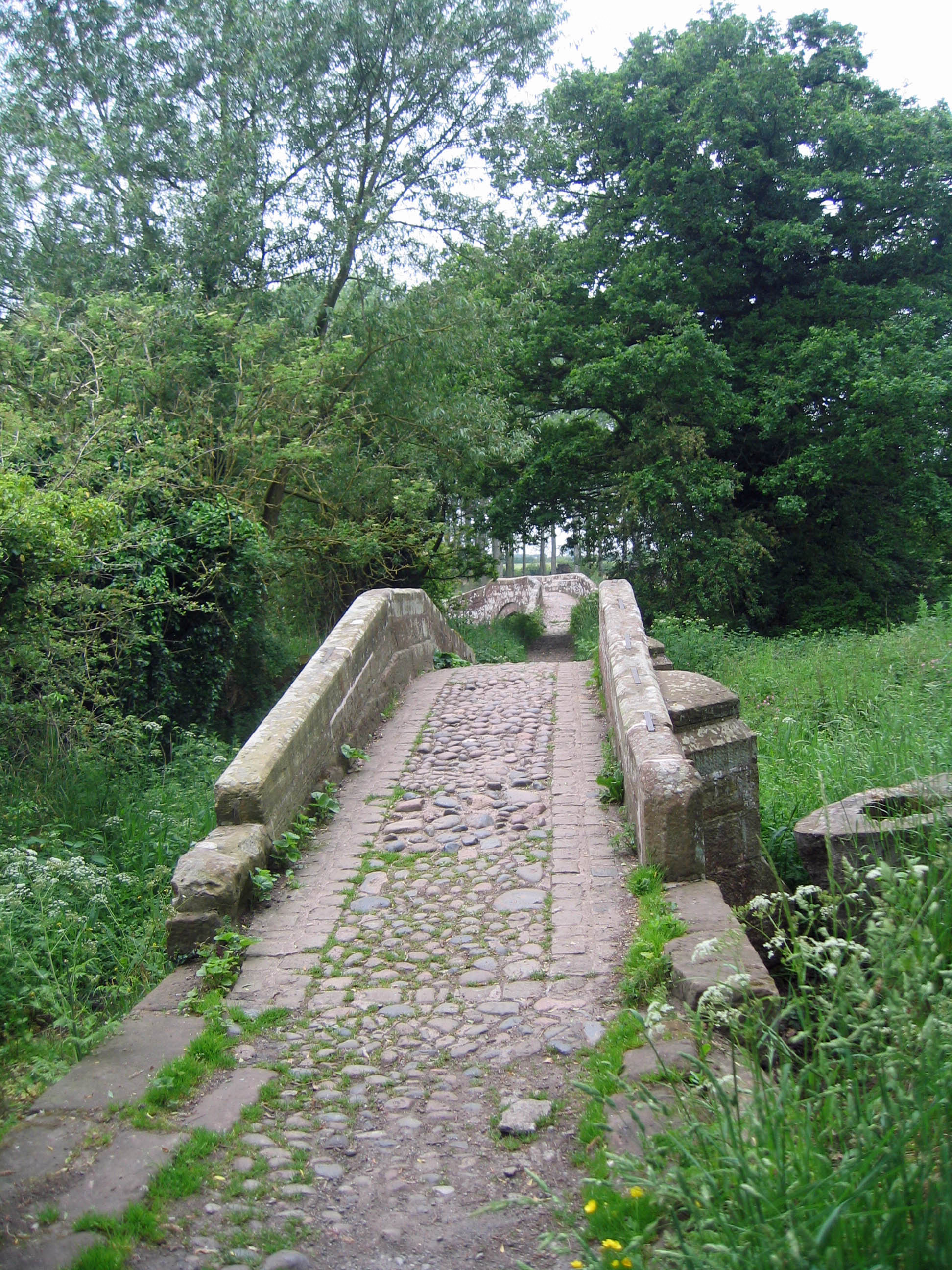
The Hockenhull Platts are three bridges southwest of the village of Tarvin, Cheshire, England. They are also known as the "Packhorse Bridges" or (erroneously) the "Roman Bridges", and are recorded in the National Heritage List for England as designated Grade II listed buildings. The bridges are situated where Platts Lane crosses the River Gowy. An area of 5 hectares (12 acres) west of the Gowy, including the westernmost bridge, forms Hockenhull Platts Nature Reserve, managed by the Cheshire Wildlife Trust.
- Category
- Photo Spots
- Location
- Tarvin, United Kingdom
- Coordinates
- 53.18620, -2.78490
- How to get there
- Google MapsApple MapsOpenStreetMap
- Wikidata
- Q5875510
What is Hockenhull Platts?
Hockenhull Platts is a Photo Spots place on VeroMaps. Other places close by: St. Plegmund's well, Statue of Richard Grosvenor, Second Marquess of Westminster, Town Crier, Forest House, Chester.
Where is Hockenhull Platts?
Hockenhull Platts is in Tarvin, United Kingdom. Coordinates: 53.18620, -2.78490.
How do I get to Hockenhull Platts?
Hockenhull Platts is at Tarvin, United Kingdom (53.18620, -2.78490). Enter these coordinates in Google Maps, Apple Maps or OpenStreetMap for walking, cycling or driving directions.