Photo corners
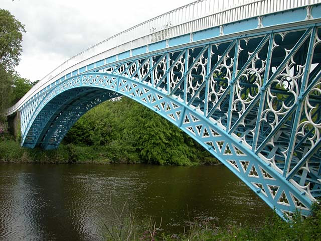
Aldford Iron Bridge
Aldford, United Kingdom
Aldford Iron Bridge is a private bridge across the River Dee north of the village of Aldford, in Cheshire, north-west England. It links the village with Eaton Hall, the Duke of Westminster's country house. It forms part of the Buerton Approach to the hall (grid reference SJ418601). The bridge is a Grade I listed building, a status which provides legal protection from demolition or unsympathetic modification.
- Category
- Photo Spots
- Location
- Aldford, United Kingdom
- Coordinates
- 53.13470, -2.87082
- How to get there
- Google MapsApple MapsOpenStreetMap
- Wikidata
- Q4713796
What is Aldford Iron Bridge?
Aldford Iron Bridge is a Photo Spots place on VeroMaps. Other places close by: Eaton Hall, Churton Hall, Calveley Hall, Grosvenor Bridge.
Where is Aldford Iron Bridge?
Aldford Iron Bridge is in Aldford, United Kingdom. Coordinates: 53.13470, -2.87082.
How do I get to Aldford Iron Bridge?
Aldford Iron Bridge is at Aldford, United Kingdom (53.13470, -2.87082). Enter these coordinates in Google Maps, Apple Maps or OpenStreetMap for walking, cycling or driving directions.