Photo corners
Grosvenor Bridge
Chester, United Kingdom
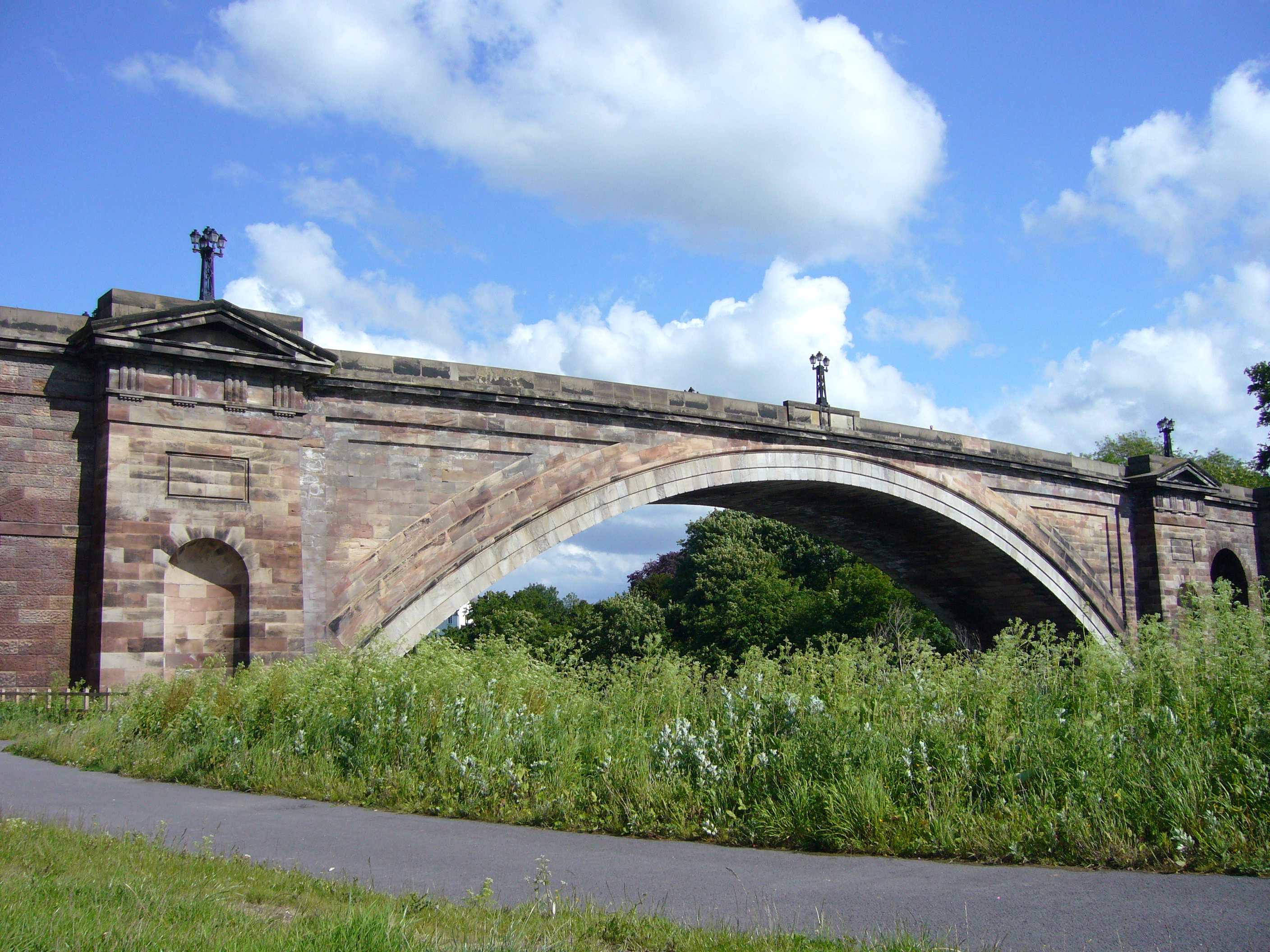
The Grosvenor Bridge is a single-span stone arch road bridge crossing the River Dee at Chester, England. Located on the A483 Grosvenor Road (grid reference SJ402655), it was designed by Thomas Harrison and opened by the 13-year old Princess Victoria (accompanied by her mother the Duchess of Kent) on 17 October 1832. The first traffic passed over it in November 1833. At the time of its construction, the bridge was the longest single-span stone arch bridge in the world, a title that it retained for 30 years. It is recorded in the National Heritage List for England as a designated Grade I listed building. Views upriver include Chester Castle and Handbridge, the impressive mansions of Curzon Park and the adjacent Roodee. Water levels of the tidal Dee vary significantly during the day.
- Category
- Photo Spots
- Location
- Chester, United Kingdom
- Coordinates
- 53.18360, -2.89606
- How to get there
- Google MapsApple MapsOpenStreetMap
- Wikidata
- Q1547559
What is Grosvenor Bridge?
Grosvenor Bridge is a Photo Spots place on VeroMaps. Other places close by: Chester Castle, Statue of Queen Victoria, Bear and Billet, Ye Olde Edgar.
Where is Grosvenor Bridge?
Grosvenor Bridge is in Chester, United Kingdom. Coordinates: 53.18360, -2.89606.
How do I get to Grosvenor Bridge?
Grosvenor Bridge is at Chester, United Kingdom (53.18360, -2.89606). Enter these coordinates in Google Maps, Apple Maps or OpenStreetMap for walking, cycling or driving directions.