Photo corners
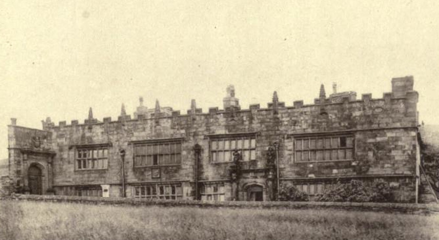
High Sunderland Hall
Calderdale, United Kingdom
High Sunderland Hall was a medieval manor house clad in stone c. 1600. It was located just outside Halifax, West Yorkshire and demolished in 1951 after falling into dereliction. The house is perhaps best known for having supposedly provided Emily Brontë with her description of Wuthering Heights, the house in her eponymous novel. The building stood just a few miles from Law Hill House, Southowram, where she spent some time as a school mistress. It was home to the Sunderland family from perhaps, as early as the 12th century.
- Category
- Photo Spots
- Location
- Calderdale, United Kingdom
- Coordinates
- 53.73430, -1.85430
- How to get there
- Google MapsApple MapsOpenStreetMap
- Wikidata
- Q5757210
What is High Sunderland Hall?
High Sunderland Hall is a Photo Spots place on VeroMaps. Other places close by: M62 coach bombing, Old White Horse Inn, Idle Working Men's Club, Morley War Memorial, Scatcherd Park.
Where is High Sunderland Hall?
High Sunderland Hall is in Calderdale, United Kingdom. Coordinates: 53.73430, -1.85430.
How do I get to High Sunderland Hall?
High Sunderland Hall is at Calderdale, United Kingdom (53.73430, -1.85430). Enter these coordinates in Google Maps, Apple Maps or OpenStreetMap for walking, cycling or driving directions.