Photo corners
Emley Moor transmitting station
Huddersfield, United Kingdom
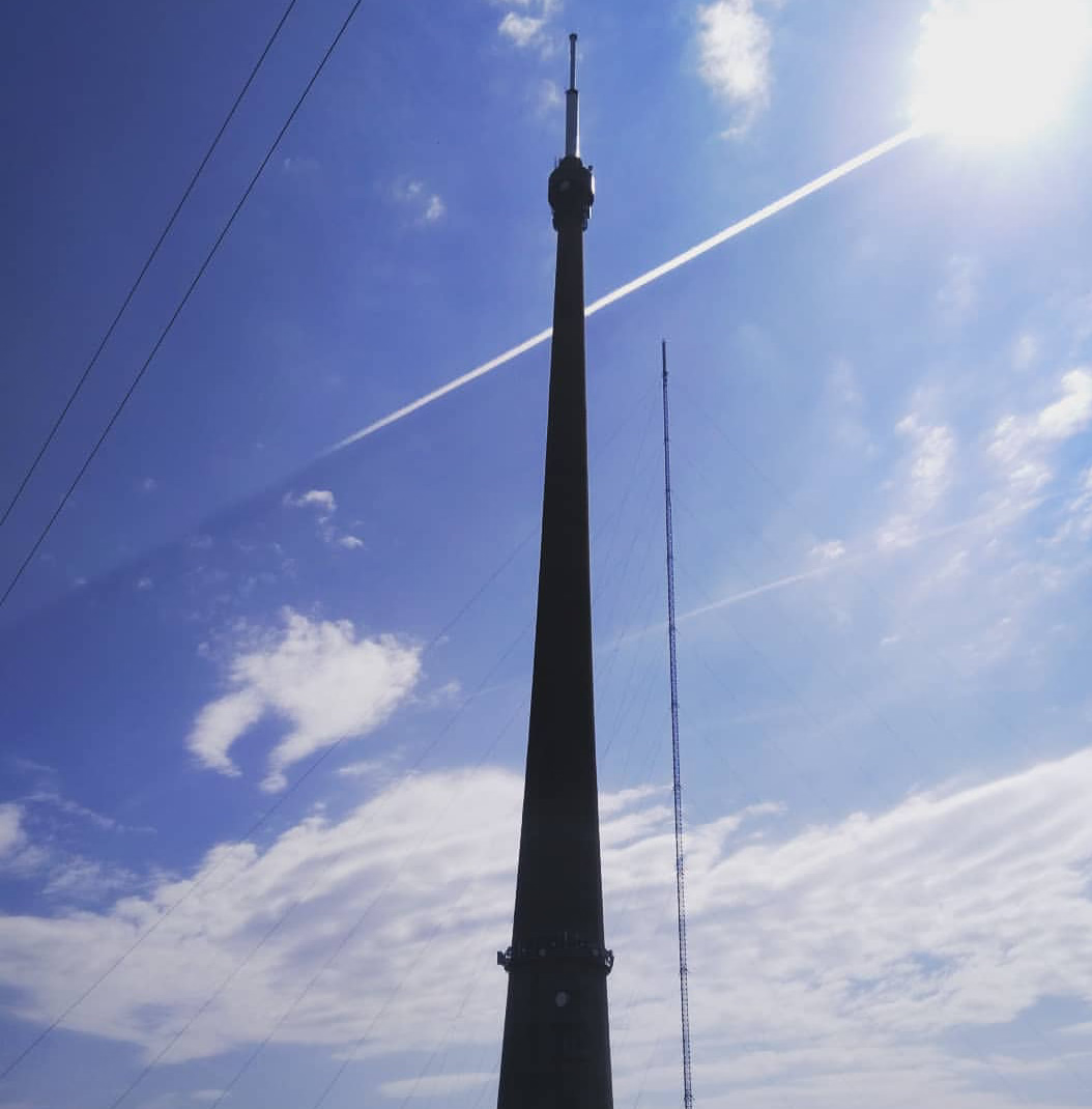
The Emley Moor transmitting station is a telecommunications and broadcasting facility on Emley Moor, 1 mile (1.6 km) west of the village centre of Emley, near Huddersfield, in West Yorkshire, England. It is made up of a 1,047 ft (319 m) concrete tower and apparatus that began to transmit in 1971. It is protected under UK law as a Grade II listed building. It is the tallest freestanding structure in the United Kingdom, and 25th tallest tower in the world. It was the seventh tallest freestanding structure and was fourth tallest tower in the European Union before Brexit. When built it was the sixth tallest freestanding structure in the world after the Ostankino Tower, the Empire State Building, 875 North Michigan Avenue (known as The John Hancock Center), the Berliner Fernsehturm and Tokyo Tower. The tower's current official name, The Arqiva Tower, is shown on a sign beside the offices at the base of the tower, but it is commonly known just as "Emley Moor Mast" despite the current structure being a freestanding tower and not a guyed mast. In 2021 the antenna was replaced, to accommodate frequency changes for mobile phone use, by a shorter antenna of 36 ft (11 m) but the structure still remains the tallest freestanding structure in the United Kingdom.
- Category
- Photo Spots
- Location
- Huddersfield, United Kingdom
- Coordinates
- 53.61205, -1.66443
- How to get there
- Google MapsApple MapsOpenStreetMap
- Wikidata
- Q638586
What is Emley Moor transmitting station?
Emley Moor transmitting station is a Photo Spots place on VeroMaps. Other places close by: Caphouse Colliery, Sandal Castle, Houndhill, Walton Hall.
Where is Emley Moor transmitting station?
Emley Moor transmitting station is in Huddersfield, United Kingdom. Coordinates: 53.61205, -1.66443.
How do I get to Emley Moor transmitting station?
Emley Moor transmitting station is at Huddersfield, United Kingdom (53.61205, -1.66443). Enter these coordinates in Google Maps, Apple Maps or OpenStreetMap for walking, cycling or driving directions.