Forgotten History
Clough Castle
Dundrum, United Kingdom
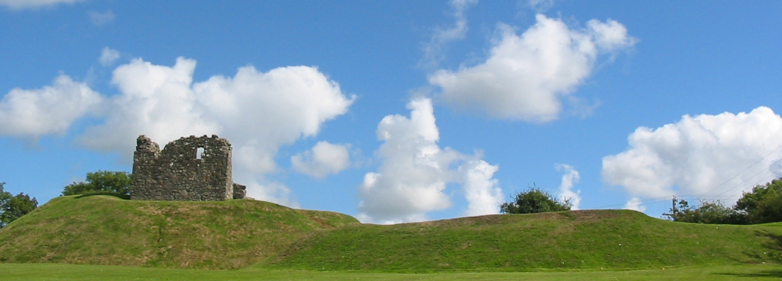
Clough Castle is a 12th century Anglo-Norman motte-and-bailey castle located in Clough, County Down, Northern Ireland. It consists of a ruined tower house situated on a 7.6 metres (25 ft) high motte. A small crescent-shaped bailey lies next to the south-east of the motte, separated by a 2.1 metres (6 ft 11 in) deep ditch.
- Category
- Forgotten History
- Location
- Dundrum, United Kingdom
- Coordinates
- 54.29222, -5.83667
- How to get there
- Google MapsApple MapsOpenStreetMap
- Wikidata
- Q1102669
What is Clough Castle?
Clough Castle is a Forgotten History place on VeroMaps. Other places close by: Dundrum Castle, Annadorn Dolmen, Bright Castle, Legananny Dolmen.
Where is Clough Castle?
Clough Castle is in Dundrum, United Kingdom. Coordinates: 54.29222, -5.83667.
How do I get to Clough Castle?
Clough Castle is at Dundrum, United Kingdom (54.29222, -5.83667). Enter these coordinates in Google Maps, Apple Maps or OpenStreetMap for walking, cycling or driving directions.