Urbex & Abandoned
Golubie
Gmina Dubeninki, Poland
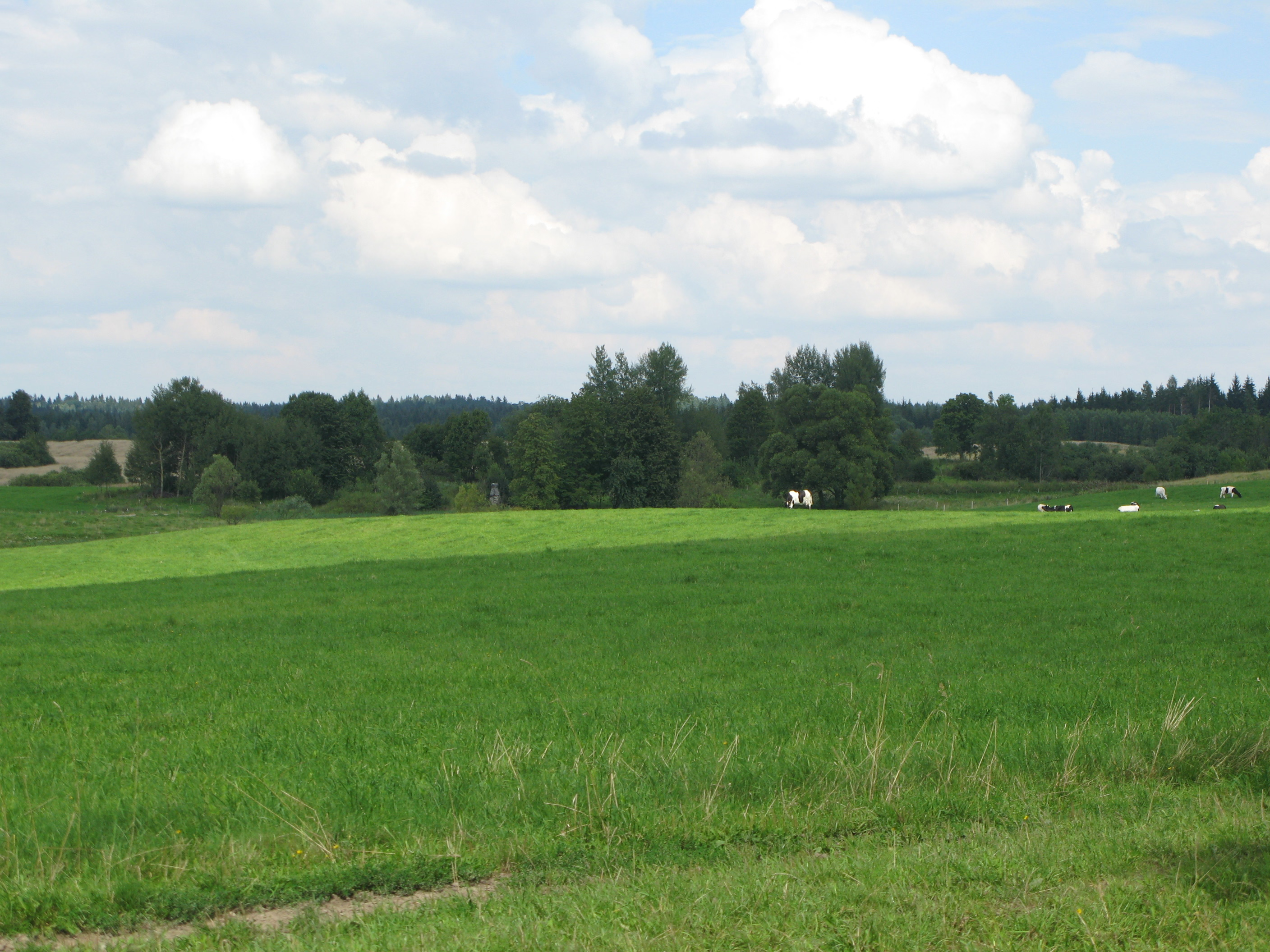
Golubie (deutsch Gollubien, 1938 bis 1945 Unterfelde) war ein Dorf im ostpreußischen Kreis Goldap. Seine nicht mehr bewohnte Ortsstelle liegt heute in der polnischen Woiwodschaft Ermland-Masuren innerhalb der Landgemeinde Dubeninki (Dubeningken, 1938 bis 1945 Dubeningen) im Kreis Gołdap (Goldap).
- Category
- Urbex & Abandoned
- Location
- Gmina Dubeninki, Poland
- Coordinates
- 54.29111, 22.71778
- How to get there
- Google MapsApple MapsOpenStreetMap
- Wikidata
- Q5580994
What is Golubie?
Golubie is a Urbex & Abandoned place on VeroMaps. Other places close by: Observation tower in Stańczyki, Water tower in Gołdap, Paderewskiego Street, Aglinės Mound, Water tower in Ełk.
Where is Golubie?
Golubie is in Gmina Dubeninki, Poland. Coordinates: 54.29111, 22.71778.
How do I get to Golubie?
Golubie is at Gmina Dubeninki, Poland (54.29111, 22.71778). Enter these coordinates in Google Maps, Apple Maps or OpenStreetMap for walking, cycling or driving directions.