Urbex & Abandoned
Ryński Młyn
Gmina Kolno, Poland
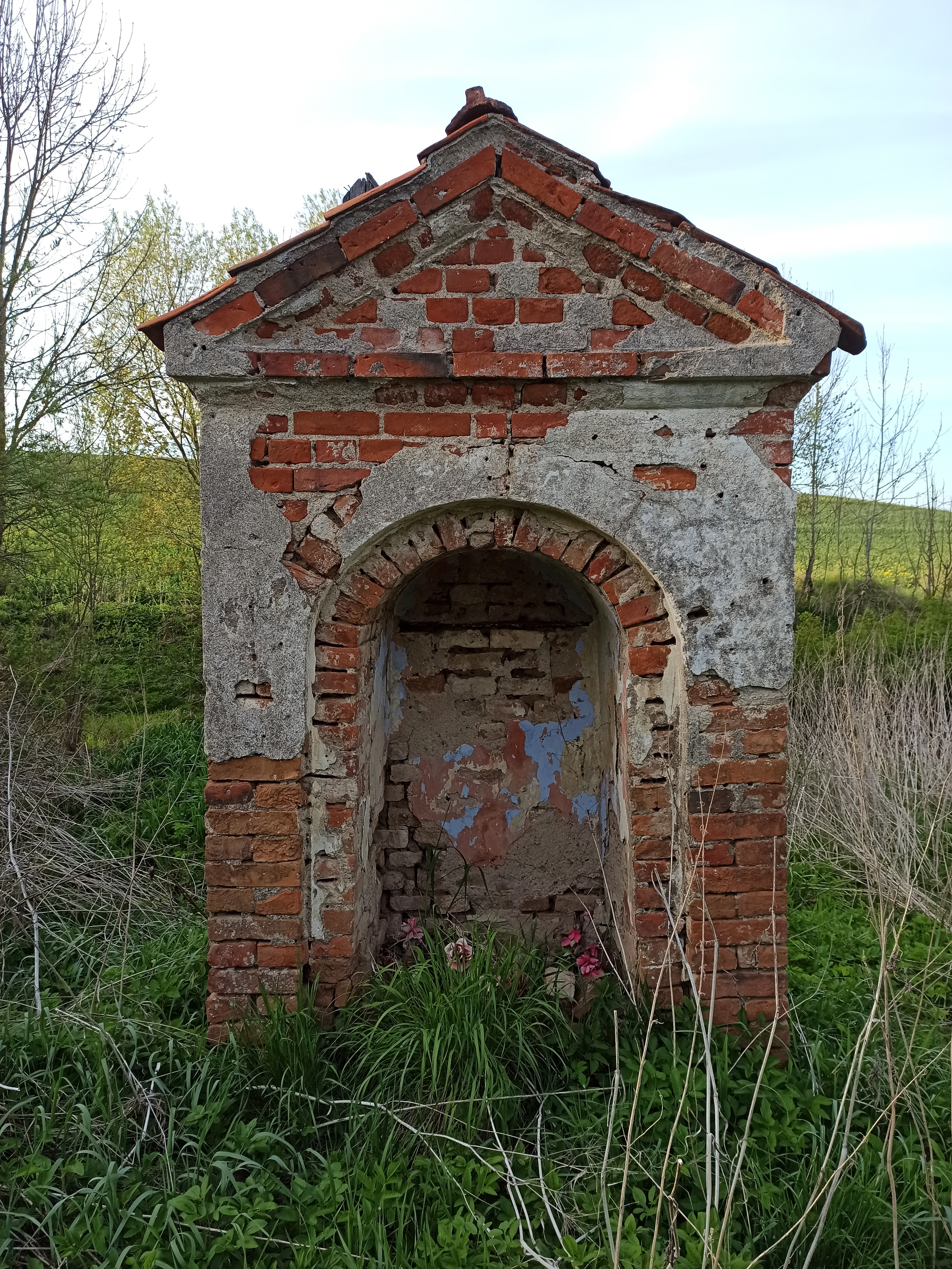
Ryński Młyn (deutsch Rheinmühl) war ein Ort in der polnischen Woiwodschaft Ermland-Masuren. Seine Ortsstelle liegt im Gebiet der Gmina Kolno (Landgemeinde Groß Köllen) im Powiat Olsztyński (Kreis Allenstein).
- Category
- Urbex & Abandoned
- Location
- Gmina Kolno, Poland
- Coordinates
- 54.04781, 21.01964
- How to get there
- Google MapsApple MapsOpenStreetMap
- Wikidata
- Q117940045
What is Ryński Młyn?
Ryński Młyn is a Urbex & Abandoned place on VeroMaps. Other places close by: Palace in Łabędnik, Galiny Palace, Manor in Glitajny, Drogosze Palace.
Where is Ryński Młyn?
Ryński Młyn is in Gmina Kolno, Poland. Coordinates: 54.04781, 21.01964.
How do I get to Ryński Młyn?
Ryński Młyn is at Gmina Kolno, Poland (54.04781, 21.01964). Enter these coordinates in Google Maps, Apple Maps or OpenStreetMap for walking, cycling or driving directions.