Urbex & Abandoned
Aglinės Mound
Poland
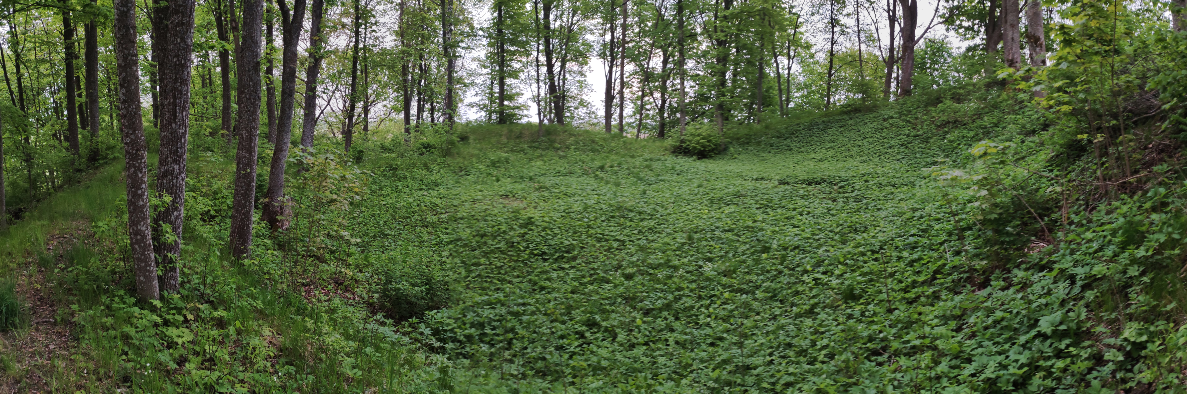
Eglinės piliakalnis (tarm. Aglinės piliakalnis, lenk. Góra zamkowa Jegliniec) – piliakalnis šiaurės Lenkijoje, prie Aglinės kaimo (Palenkės vaivadija, Suvalkų apskritis, Šipliškės valsčius).
- Category
- Urbex & Abandoned
- Location
- Poland
- Coordinates
- 54.30345, 23.13455
- How to get there
- Google MapsApple MapsOpenStreetMap
- Wikidata
- Q12647109
What is Aglinės Mound?
Aglinės Mound is a Urbex & Abandoned place on VeroMaps. Other places close by: Golubie, Observation tower in Stańczyki, Water tower in Gołdap, Paderewskiego Street, Water tower in Ełk.
Where is Aglinės Mound?
Aglinės Mound is in Poland. Coordinates: 54.30345, 23.13455.
How do I get to Aglinės Mound?
Aglinės Mound is at Poland (54.30345, 23.13455). Enter these coordinates in Google Maps, Apple Maps or OpenStreetMap for walking, cycling or driving directions.