Forgotten History
Panemunė Castle
Jurbarkas District Municipality, Lithuania
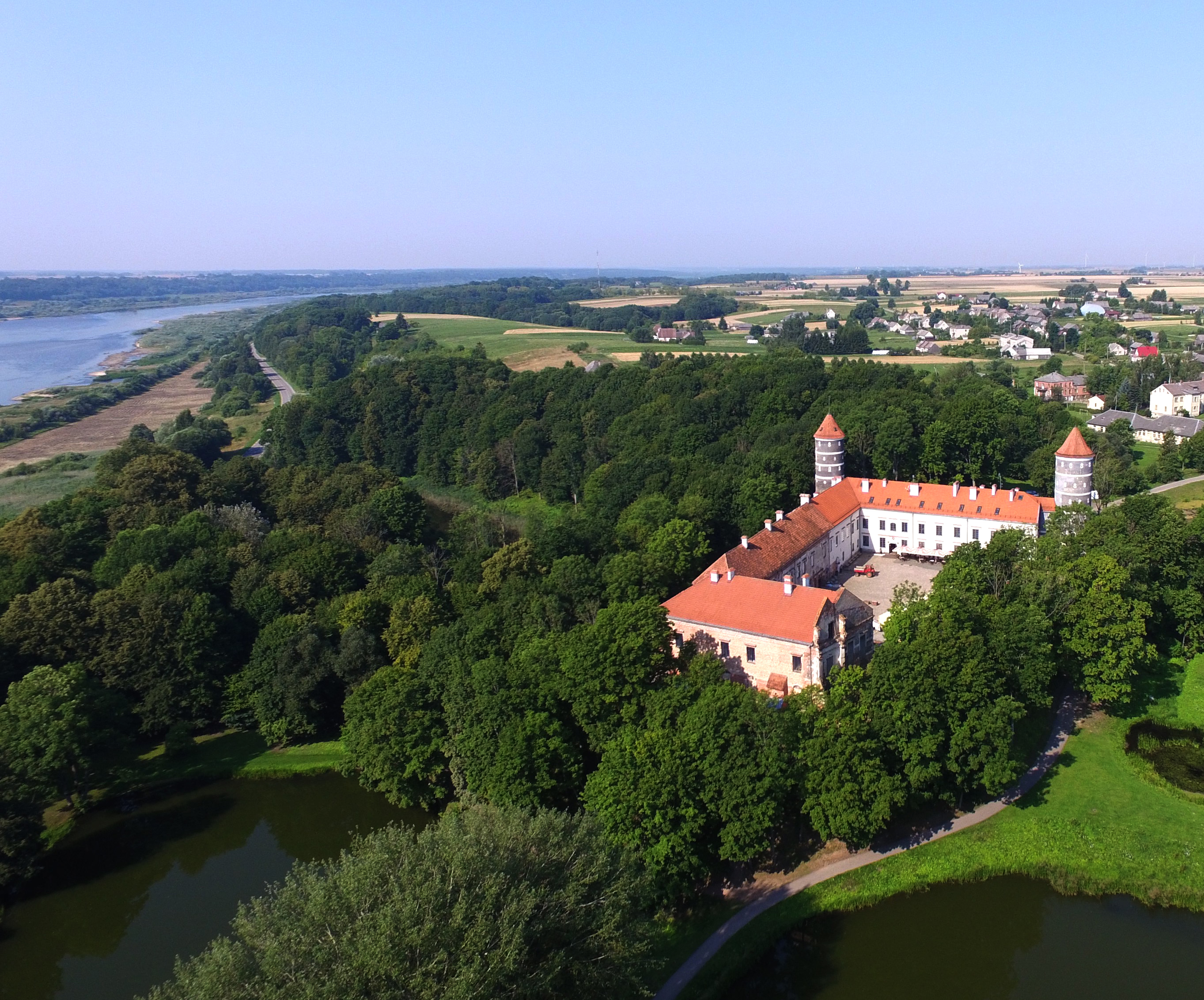
Panemunė Castle (Lithuanian: Panemunės pilis) is a historic castle situated on the banks of the Nemunas River, in the western part of Lithuania. The castle's origins stretch back to the medieval period, evolving through various phases of reconstruction.
- Category
- Forgotten History
- Location
- Jurbarkas District Municipality, Lithuania
- Coordinates
- 55.09900, 22.98600
- How to get there
- Google MapsApple MapsOpenStreetMap
- Wikidata
- Q1023846
What is Panemunė Castle?
Panemunė Castle is a Forgotten History place on VeroMaps. Other places close by: Pieštvė, Daugėliškiai bunker, Raudondvaris Castle, Kaunas Castle.
Where is Panemunė Castle?
Panemunė Castle is in Jurbarkas District Municipality, Lithuania. Coordinates: 55.09900, 22.98600.
How do I get to Panemunė Castle?
Panemunė Castle is at Jurbarkas District Municipality, Lithuania (55.09900, 22.98600). Enter these coordinates in Google Maps, Apple Maps or OpenStreetMap for walking, cycling or driving directions.