Urbex & Abandoned
Dún Ailinne
County Kildare, Ireland
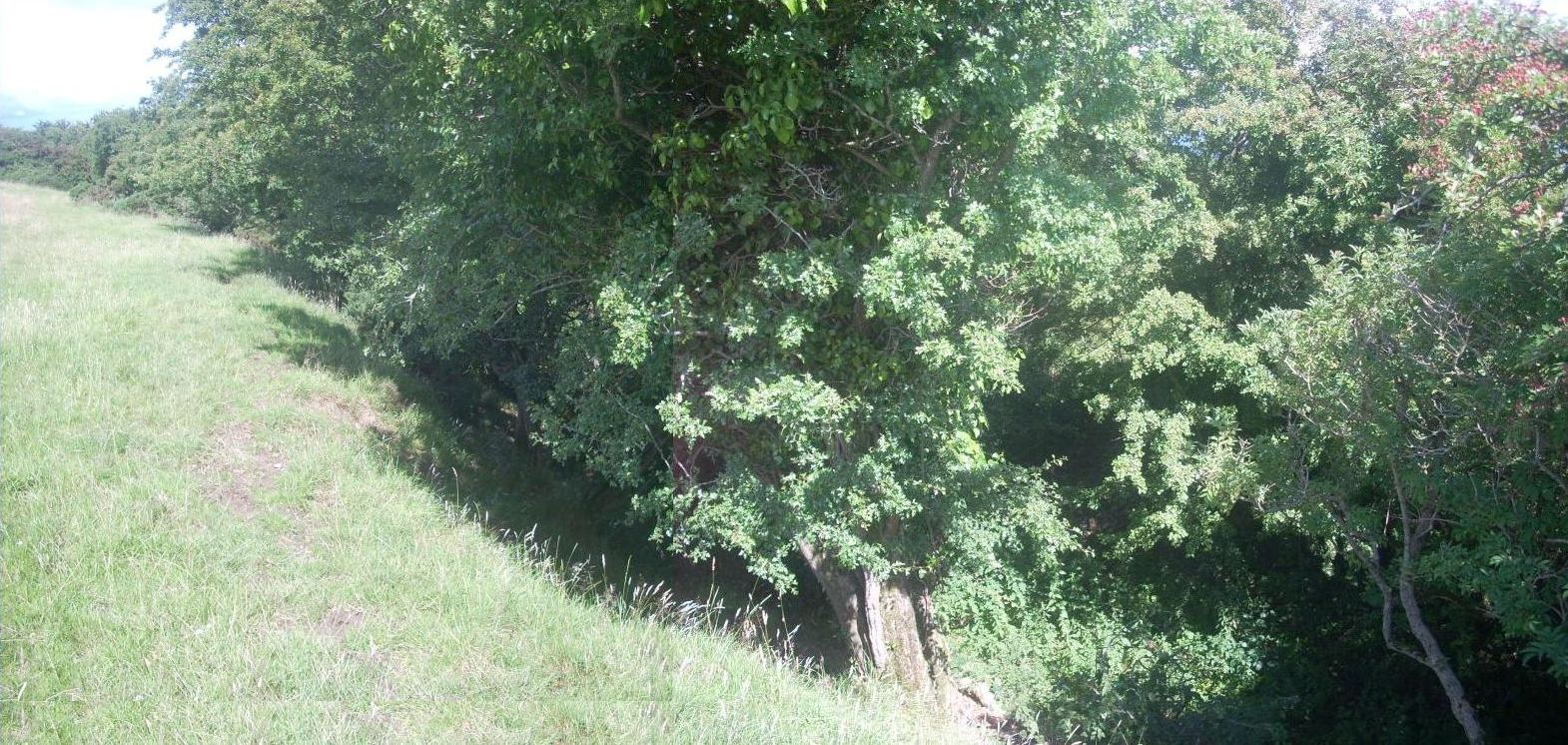
Dún Ailinne is an ancient ceremonial site on the hill of Cnoc Ailinne (Knockaulin) in County Kildare, Ireland. It is southwest of Kilcullen, near the R418 road to Athy. It is a large circular enclosure covering most of the hilltop; about 13 hectares.
- Category
- Urbex & Abandoned
- Location
- County Kildare, Ireland
- Coordinates
- 53.11500, -6.77500
- How to get there
- Google MapsApple MapsOpenStreetMap
- Wikidata
- Q524928
What is Dún Ailinne?
Dún Ailinne is a Urbex & Abandoned place on VeroMaps. Other places close by: Crehelp standing stone, Mullamast Stone, portal tomb of Broomfields, Wedge Tomb von Carrig.
Where is Dún Ailinne?
Dún Ailinne is in County Kildare, Ireland. Coordinates: 53.11500, -6.77500.
How do I get to Dún Ailinne?
Dún Ailinne is at County Kildare, Ireland (53.11500, -6.77500). Enter these coordinates in Google Maps, Apple Maps or OpenStreetMap for walking, cycling or driving directions.