Urbex & Abandoned
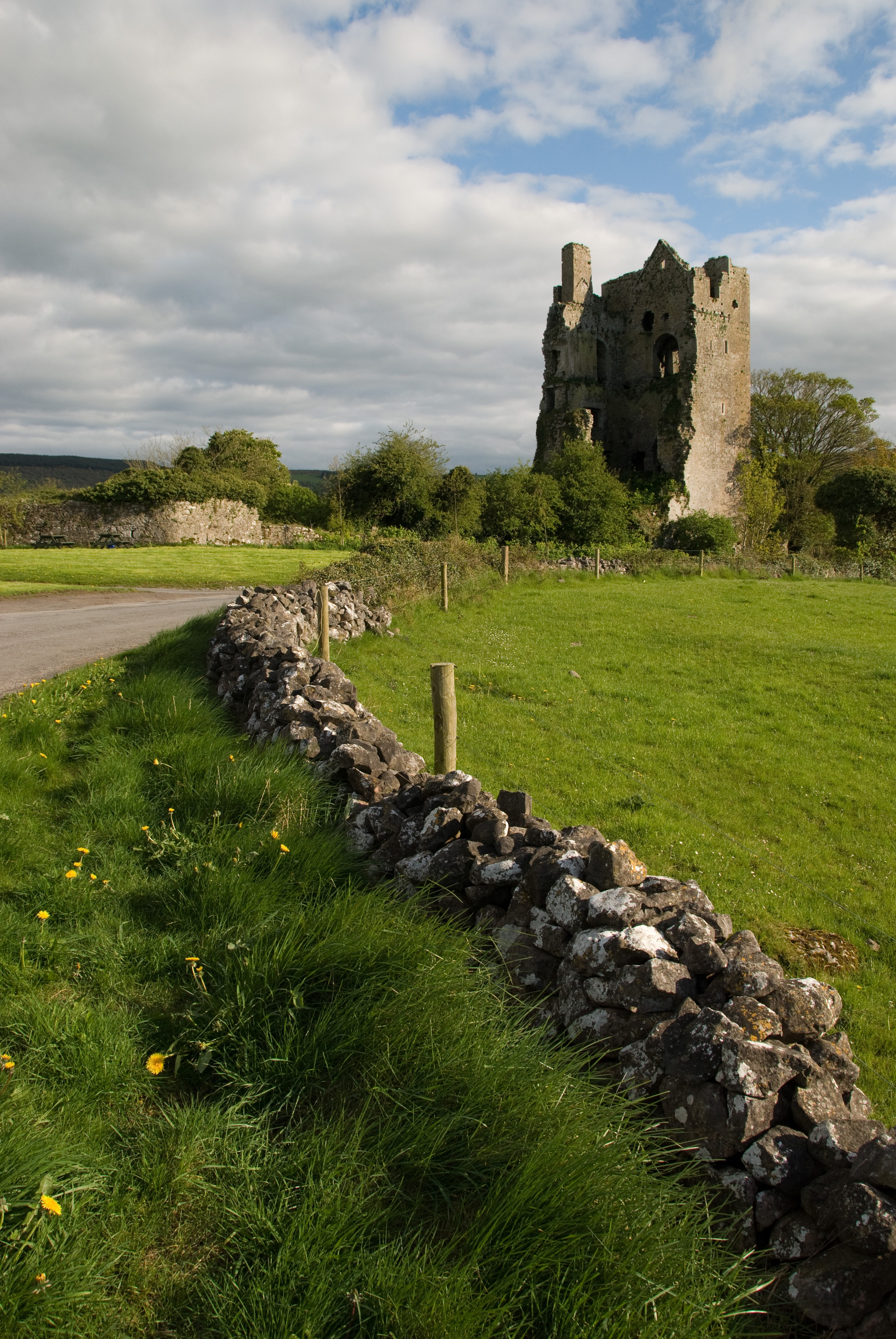
Cullahill Castle
Rathdowney, Ireland
Cullahill Castle was the principal stronghold of the MacGillapatricks of Upper Ossory built around 1425 and destroyed around 1650. Cullahill Castle takes its name from an ancient forest that covered Cullahill Mountain and extended down to Cullahill village.
- Category
- Urbex & Abandoned
- Location
- Rathdowney, Ireland
- Coordinates
- 52.81613, -7.47281
- How to get there
- Google MapsApple MapsOpenStreetMap
- Wikidata
- Q5192972
What is Cullahill Castle?
Cullahill Castle is a Urbex & Abandoned place on VeroMaps. Other places close by: Kyteler's Inn, Kilkenny Castle, Rock of Dunamase, Clogrennane Castle.
Where is Cullahill Castle?
Cullahill Castle is in Rathdowney, Ireland. Coordinates: 52.81613, -7.47281.
How do I get to Cullahill Castle?
Cullahill Castle is at Rathdowney, Ireland (52.81613, -7.47281). Enter these coordinates in Google Maps, Apple Maps or OpenStreetMap for walking, cycling or driving directions.