Urbex & Abandoned
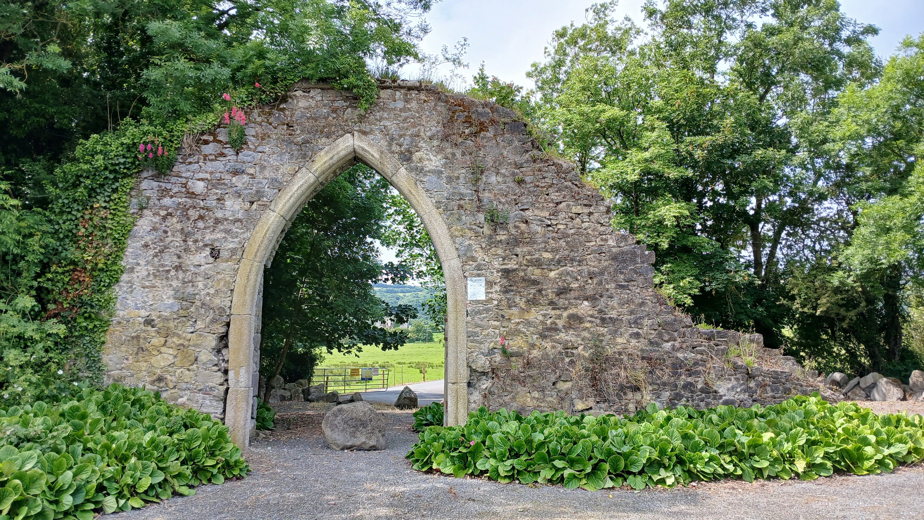
Clogrennane Castle
Carlow, Ireland
Clogrennane Castle is a ruined castle in County Carlow, Ireland, near Clogrennane, about two miles from Carlow on the River Barrow on the county border with County Laois.
- Category
- Urbex & Abandoned
- Location
- Carlow, Ireland
- Coordinates
- 52.80936, -6.96597
- How to get there
- Google MapsApple MapsOpenStreetMap
- Wikidata
- Q126679057
What is Clogrennane Castle?
Clogrennane Castle is a Urbex & Abandoned place on VeroMaps. Other places close by: Carlow Castle, Ballymoon Castle, Kilkea Castle, Coolasnaghta Stone Row.
Where is Clogrennane Castle?
Clogrennane Castle is in Carlow, Ireland. Coordinates: 52.80936, -6.96597.
How do I get to Clogrennane Castle?
Clogrennane Castle is at Carlow, Ireland (52.80936, -6.96597). Enter these coordinates in Google Maps, Apple Maps or OpenStreetMap for walking, cycling or driving directions.