Forgotten History
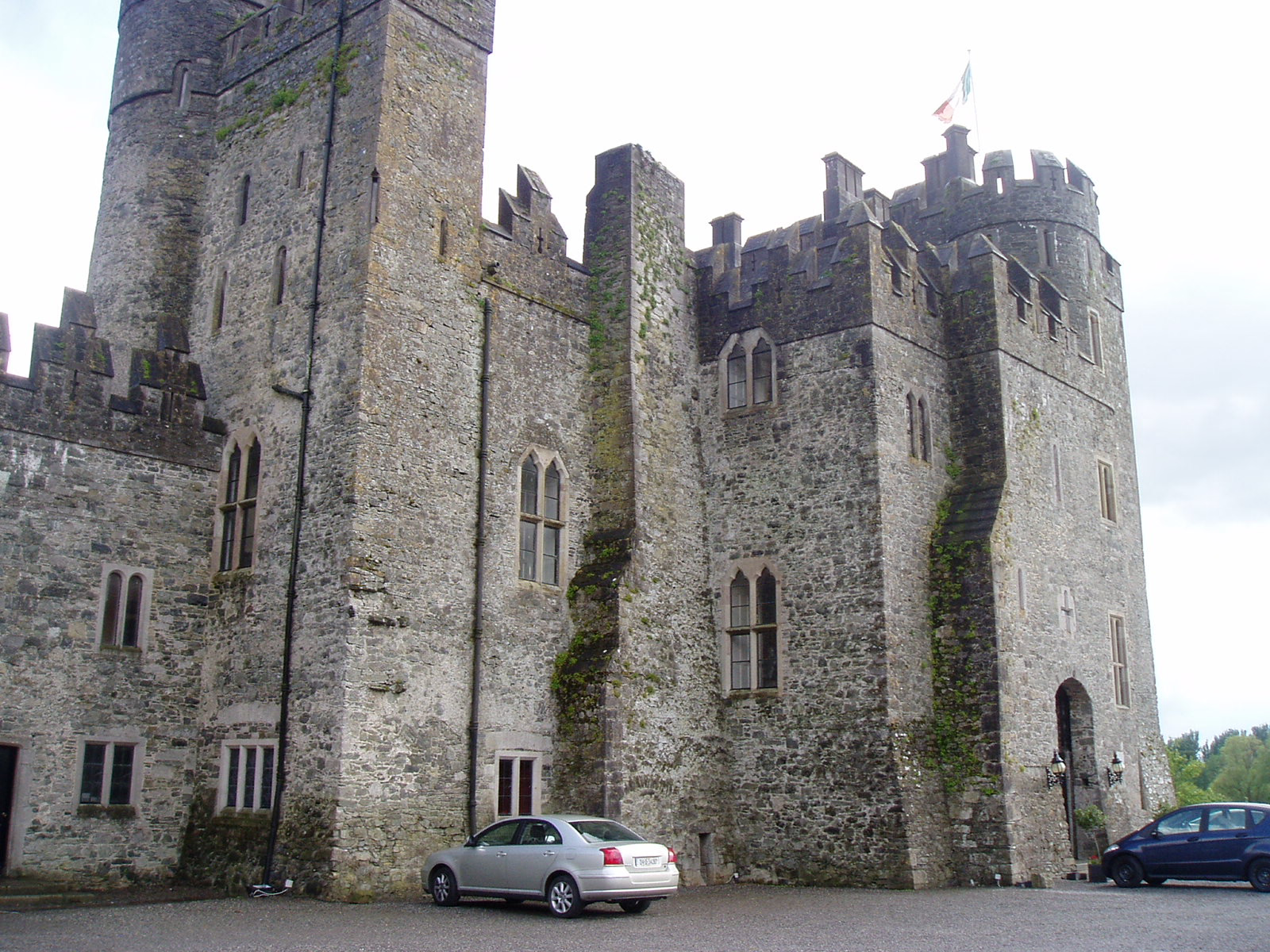
Kilkea Castle
Castledermot, Ireland
Kilkea Castle is located 5 km (3.1 mi) northwest of Castledermot, County Kildare, Ireland near the village of Kilkea on the R418 regional road from Athy to Tullow. It was a medieval stronghold, for over 700 years, of the Fitzgeralds, earls of Kildare.
- Category
- Forgotten History
- Location
- Castledermot, Ireland
- Coordinates
- 52.94333, -6.88694
- How to get there
- Google MapsApple MapsOpenStreetMap
- Wikidata
- Q2969483
What is Kilkea Castle?
Kilkea Castle is a Forgotten History place on VeroMaps. Other places close by: Mullamast Stone, Carlow Castle, Clogrennane Castle, portal tomb of Broomfields.
Where is Kilkea Castle?
Kilkea Castle is in Castledermot, Ireland. Coordinates: 52.94333, -6.88694.
How do I get to Kilkea Castle?
Kilkea Castle is at Castledermot, Ireland (52.94333, -6.88694). Enter these coordinates in Google Maps, Apple Maps or OpenStreetMap for walking, cycling or driving directions.