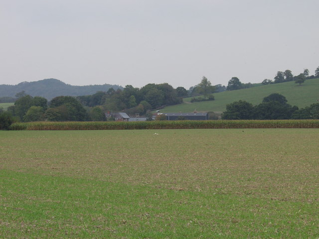
Urbex & Abandoned
Carreghofa Castle
Pant, United Kingdom
Carreghofa Castle (Welsh: Castell Carreghwfa) was a Norman timber and masonry castle located in the Welsh village of Carreghofa, Powys. Between its construction in 1101 and destruction in 1236, it was the site of many battles between rival Welsh and English forces.
- Category
- Urbex & Abandoned
- Location
- Pant, United Kingdom
- Coordinates
- 52.79212, -3.10676
- How to get there
- Google MapsApple MapsOpenStreetMap
- Wikidata
- Q15097770
What is Carreghofa Castle?
Carreghofa Castle is a Urbex & Abandoned place on VeroMaps. Other places close by: Alberbury Castle, Buttington, Powis Castle, Mathrafal.
Where is Carreghofa Castle?
Carreghofa Castle is in Pant, United Kingdom. Coordinates: 52.79212, -3.10676.
How do I get to Carreghofa Castle?
Carreghofa Castle is at Pant, United Kingdom (52.79212, -3.10676). Enter these coordinates in Google Maps, Apple Maps or OpenStreetMap for walking, cycling or driving directions.