Night Life
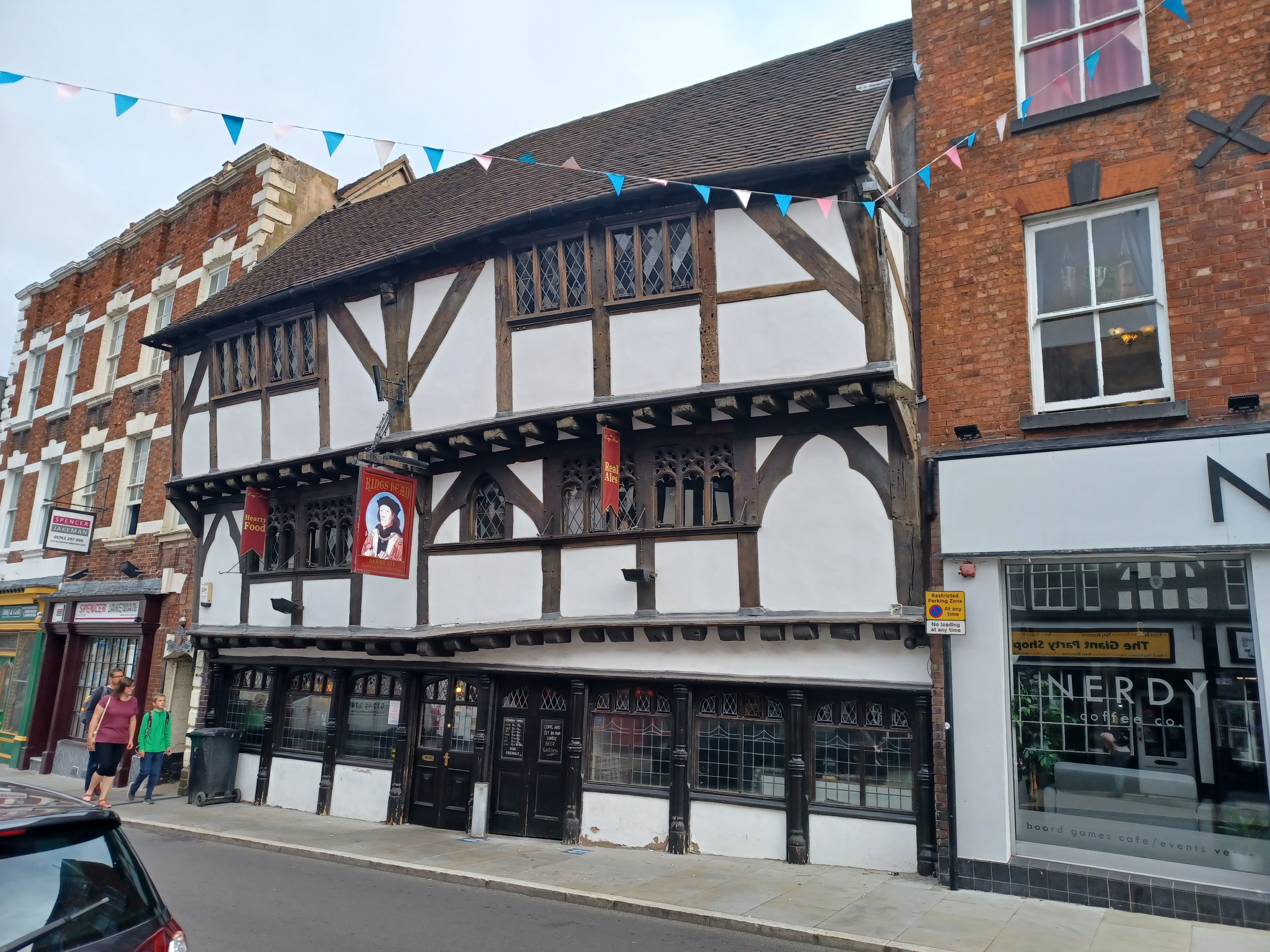
The King's Head Public House
Shrewsbury, United Kingdom
The King's Head is an old public house on the historic street Mardol in Shrewsbury, Shropshire, England. It was previously known as the "Last Inn" as it was the last inn in Shrewsbury on the route out of town towards Wales (Frankwell historically was a separate entity, outside the borough of Shrewsbury).
- Category
- Night Life
- Location
- Shrewsbury, United Kingdom
- Coordinates
- 52.70950, -2.75639
- How to get there
- Google MapsApple MapsOpenStreetMap
- Wikidata
- Q17550599
What is The King's Head Public House?
The King's Head Public House is a Night Life place on VeroMaps. Other places close by: Shrewsbury Castle, Kingsland Bridge, Ditherington Flax Mill, Alberbury Castle.
Where is The King's Head Public House?
The King's Head Public House is in Shrewsbury, United Kingdom. Coordinates: 52.70950, -2.75639.
How do I get to The King's Head Public House?
The King's Head Public House is at Shrewsbury, United Kingdom (52.70950, -2.75639). Enter these coordinates in Google Maps, Apple Maps or OpenStreetMap for walking, cycling or driving directions.