Urbex & Abandoned
Caer Drewyn
Denbighshire, United Kingdom
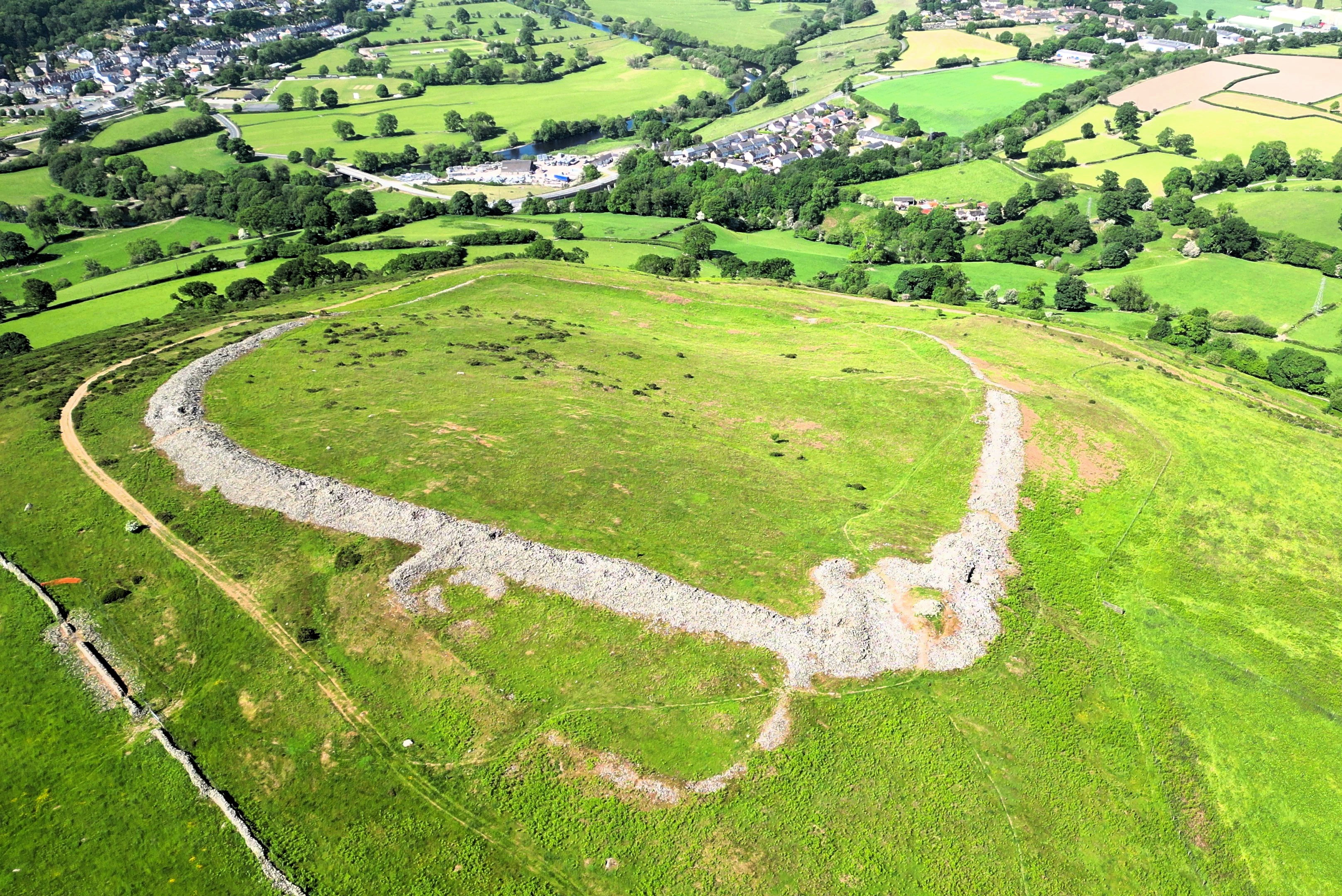
Caer Drewyn is an early Iron Age hillfort to the north of the town of Corwen, Denbighshire (Grid reference SJ 08769 44411). It has a large stone rampart with entrances on the west and north sides; there is a guard chamber within the north-east entrance, and it has a deep defensive ditch.
- Category
- Urbex & Abandoned
- Location
- Denbighshire, United Kingdom
- Coordinates
- 52.98920, -3.36010
- How to get there
- Google MapsApple MapsOpenStreetMap
- Wikidata
- Q13126471
What is Caer Drewyn?
Caer Drewyn is a Urbex & Abandoned place on VeroMaps. Other places close by: Owain Glyndŵr's Mount, Deeside and Moelfferna Quarries, Leyland Arms, Castell Dinas Brân.
Where is Caer Drewyn?
Caer Drewyn is in Denbighshire, United Kingdom. Coordinates: 52.98920, -3.36010.
How do I get to Caer Drewyn?
Caer Drewyn is at Denbighshire, United Kingdom (52.98920, -3.36010). Enter these coordinates in Google Maps, Apple Maps or OpenStreetMap for walking, cycling or driving directions.