Forgotten History
Mathrafal
Llanfyllin, United Kingdom
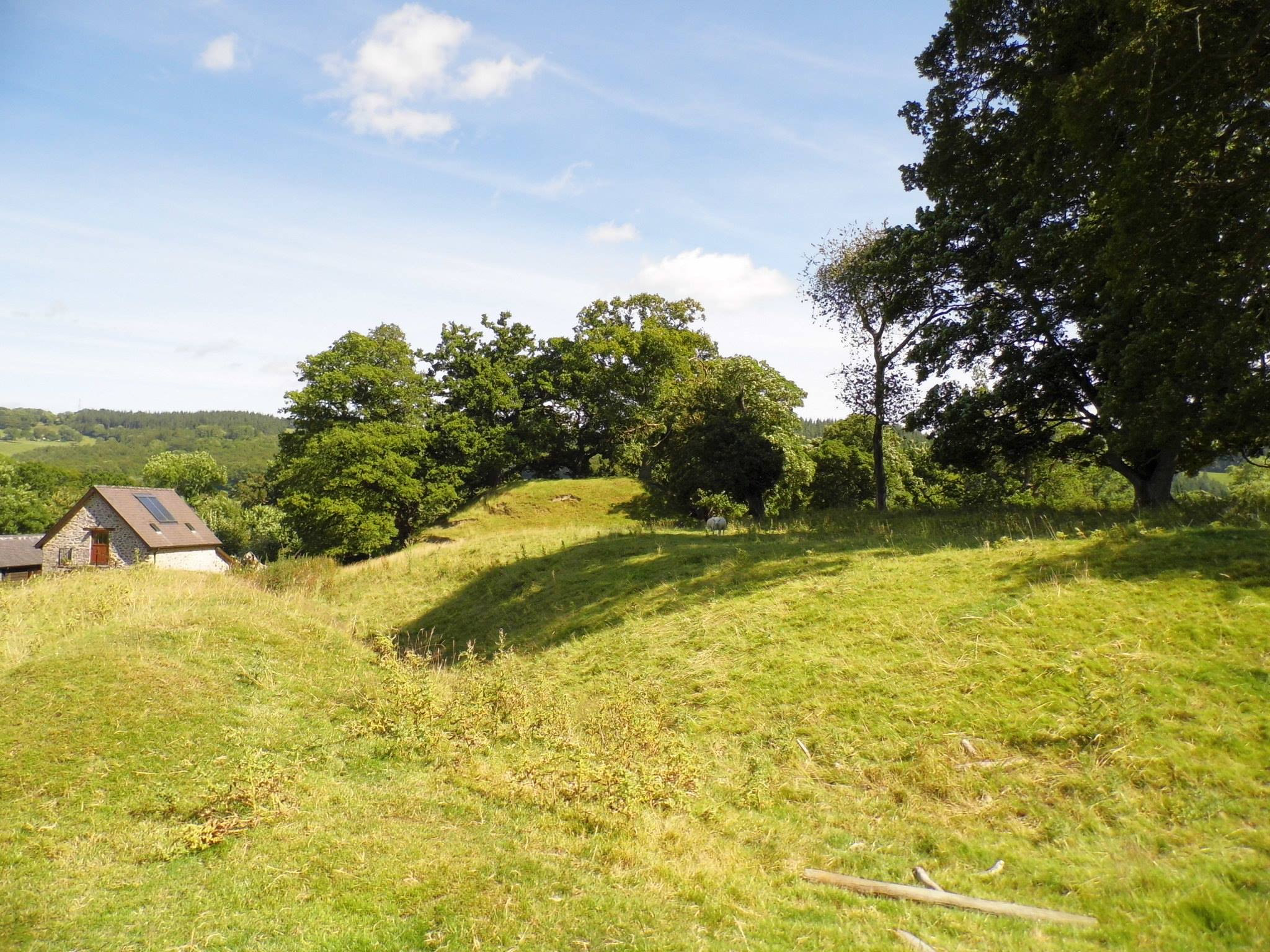
Mathrafal Castle är ett slott i Storbritannien. Det ligger i kommunen Powys och riksdelen Wales, i den södra delen av landet, 250 km nordväst om huvudstaden London. Mathrafal Castle ligger 99 meter över havet. Terrängen runt Mathrafal Castle är kuperad åt nordväst, men åt sydost är den platt. Mathrafal Castle ligger nere i en dal. Närmaste större samhälle är Welshpool, 9,9 km öster om Mathrafal Castle. Trakten runt Mathrafal Castle består i huvudsak av gräsmarker.
- Category
- Forgotten History
- Location
- Llanfyllin, United Kingdom
- Coordinates
- 52.68780, -3.28650
- How to get there
- Google MapsApple MapsOpenStreetMap
- Wikidata
- Q3399905
What is Mathrafal?
Mathrafal is a Forgotten History place on VeroMaps. Other places close by: Powis Castle, Buttington, Dolforwyn Castle, Montgomery Castle.
Where is Mathrafal?
Mathrafal is in Llanfyllin, United Kingdom. Coordinates: 52.68780, -3.28650.
How do I get to Mathrafal?
Mathrafal is at Llanfyllin, United Kingdom (52.68780, -3.28650). Enter these coordinates in Google Maps, Apple Maps or OpenStreetMap for walking, cycling or driving directions.