Photo corners
Burham Down
Aylesford, United Kingdom
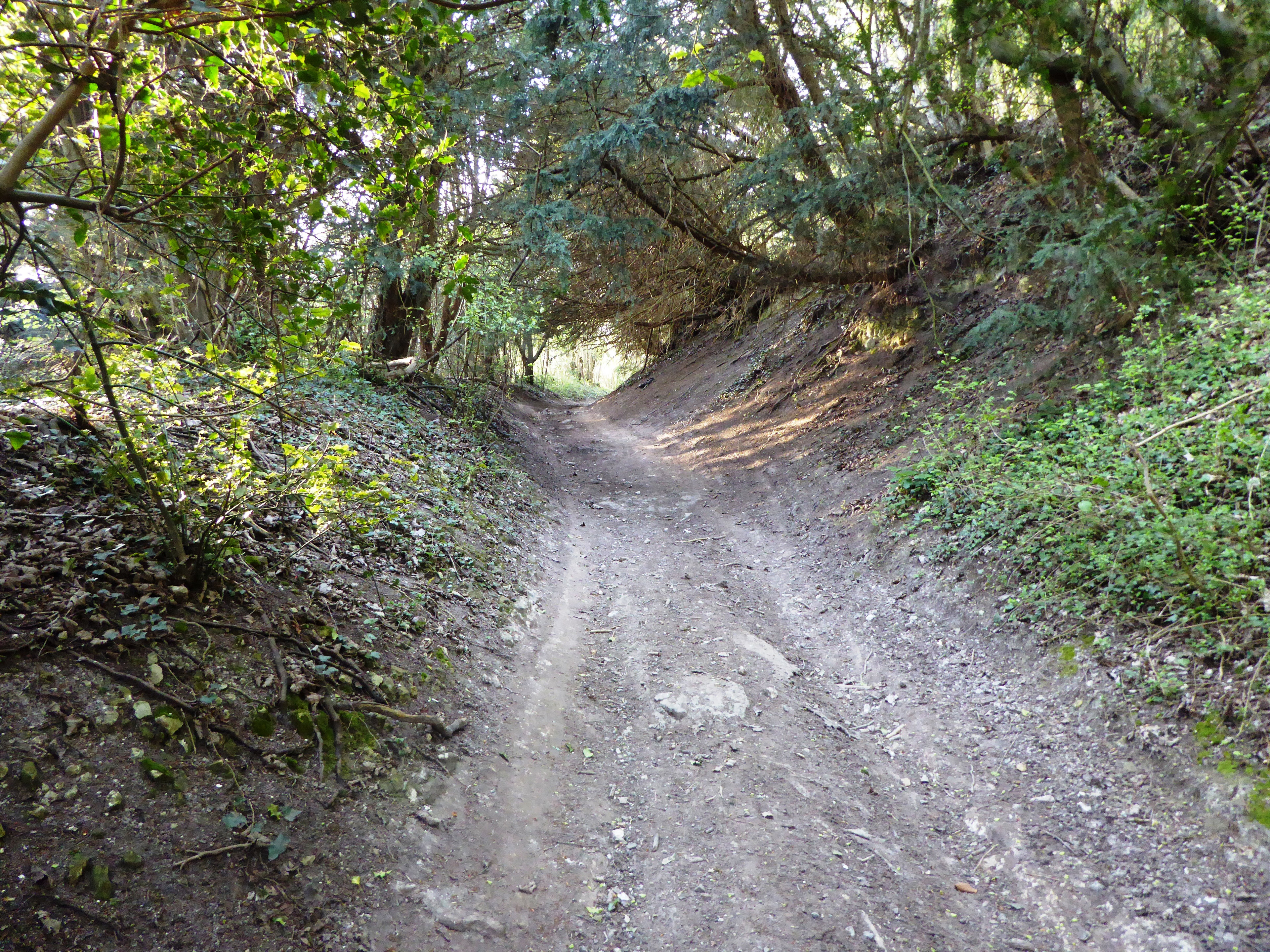
Burham Down is a 110-hectare (270-acre) nature reserve between Maidstone and Chatham in Kent. It is managed by the Kent Wildlife Trust. It is part of the Wouldham to Detling Escarpment Site of Special Scientific Interest and Nature Conservation Review site, Grade I, the Kent Downs Area of Outstanding Natural Beauty, and the North Downs Woodlands Special Area of Conservation.
- Category
- Photo Spots
- Location
- Aylesford, United Kingdom
- Coordinates
- 51.33420, 0.49167
- How to get there
- Google MapsApple MapsOpenStreetMap
- Wikidata
- Q4998747
What is Burham Down?
Burham Down is a Photo Spots place on VeroMaps. Other places close by: Coffin Stone, Lower Bell, Allington Castle, Ranscombe Farm.
Where is Burham Down?
Burham Down is in Aylesford, United Kingdom. Coordinates: 51.33420, 0.49167.
How do I get to Burham Down?
Burham Down is at Aylesford, United Kingdom (51.33420, 0.49167). Enter these coordinates in Google Maps, Apple Maps or OpenStreetMap for walking, cycling or driving directions.