Night Life
Lower Bell
London, United Kingdom
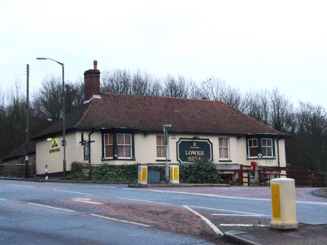
The Lower Bell is a pub and hotel on the A229 Blue Bell Hill, between Chatham and Maidstone in Kent. It is located at the edge of the North Downs where the A229 meets the Pilgrims' Way. A pub has existed in the general area since around 1790, when the A229 was a turnpike road for coaches.
- Category
- Night Life
- Location
- London, United Kingdom
- Coordinates
- 51.31806, 0.50778
- How to get there
- Google MapsApple MapsOpenStreetMap
- Wikidata
- Q48818119
What is Lower Bell?
Lower Bell is a Night Life place on VeroMaps. Other places close by: Coffin Stone, Burham Down, Allington Castle, Archbishop's Palace.
Where is Lower Bell?
Lower Bell is in London, United Kingdom. Coordinates: 51.31806, 0.50778.
How do I get to Lower Bell?
Lower Bell is at London, United Kingdom (51.31806, 0.50778). Enter these coordinates in Google Maps, Apple Maps or OpenStreetMap for walking, cycling or driving directions.