Photo corners
Wansunt Pit
London, United Kingdom
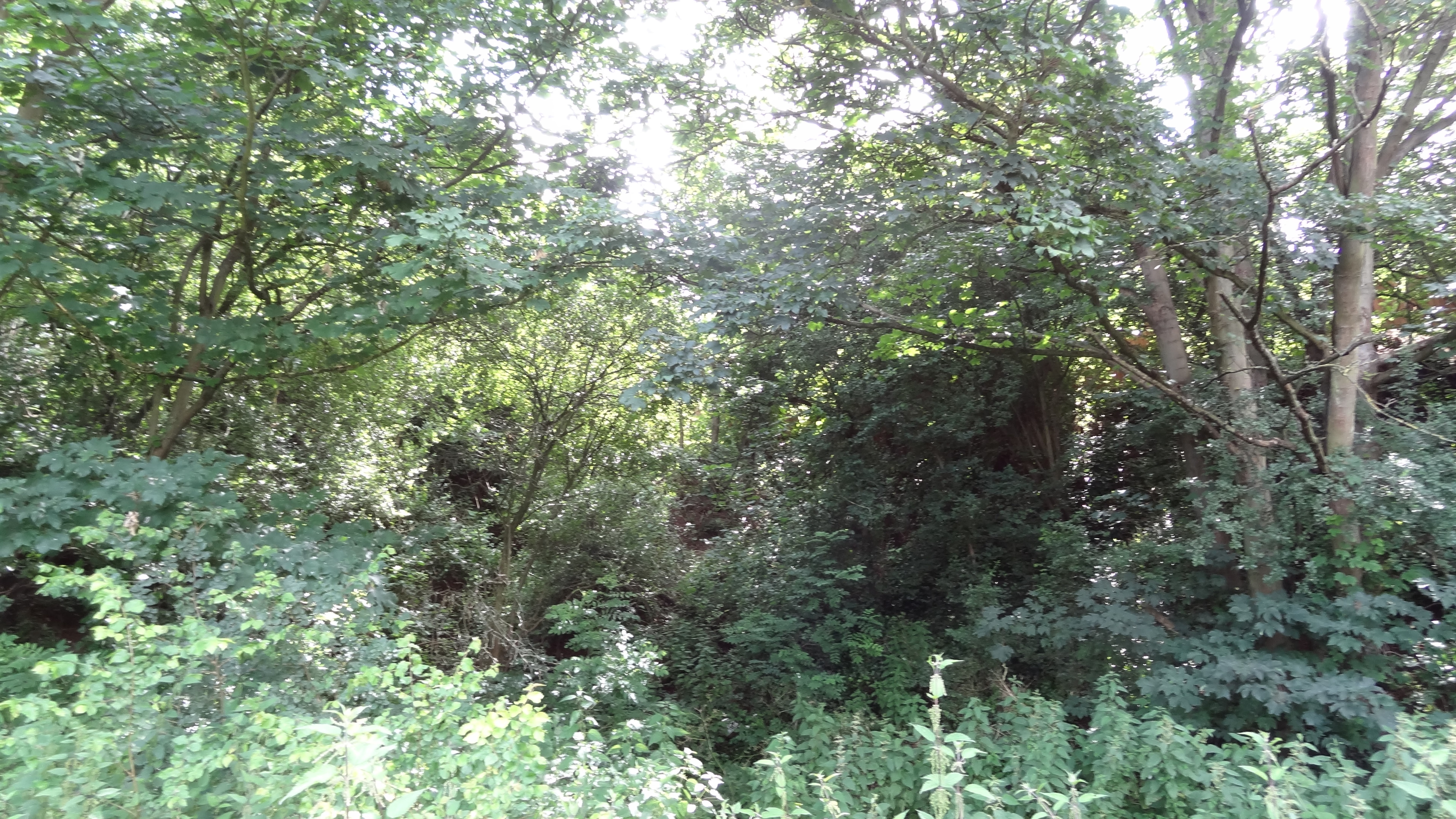
Wansunt Pit is a 1.9-hectare (4.7-acre) geological Site of Special Scientific Interest in Dartford Heath between Crayford in the London Borough of Bexley and Dartford in Kent. It is also a Geological Conservation Review site. It is important geologically because it exposes the Dartford Heath Gravel, and the relationship of this exposure to the Swanscombe sequence and the Thames Terraces is a controversial issue in Thames Pleistocene studies. The site is part of Braeburn Park, a nature reserve managed by the London Wildlife Trust.
- Category
- Photo Spots
- Location
- London, United Kingdom
- Coordinates
- 51.44120, 0.17702
- How to get there
- Google MapsApple MapsOpenStreetMap
- Wikidata
- Q7968107
What is Wansunt Pit?
Wansunt Pit is a Photo Spots place on VeroMaps. Other places close by: One Bell, Black Prince, Bexley, Rainham Marshes Nature Reserve, Purfleet Chalk Pits.
Where is Wansunt Pit?
Wansunt Pit is in London, United Kingdom. Coordinates: 51.44120, 0.17702.
How do I get to Wansunt Pit?
Wansunt Pit is at London, United Kingdom (51.44120, 0.17702). Enter these coordinates in Google Maps, Apple Maps or OpenStreetMap for walking, cycling or driving directions.