Urbex & Abandoned
Braunston Cleves or Fawcliff
Braunston, United Kingdom
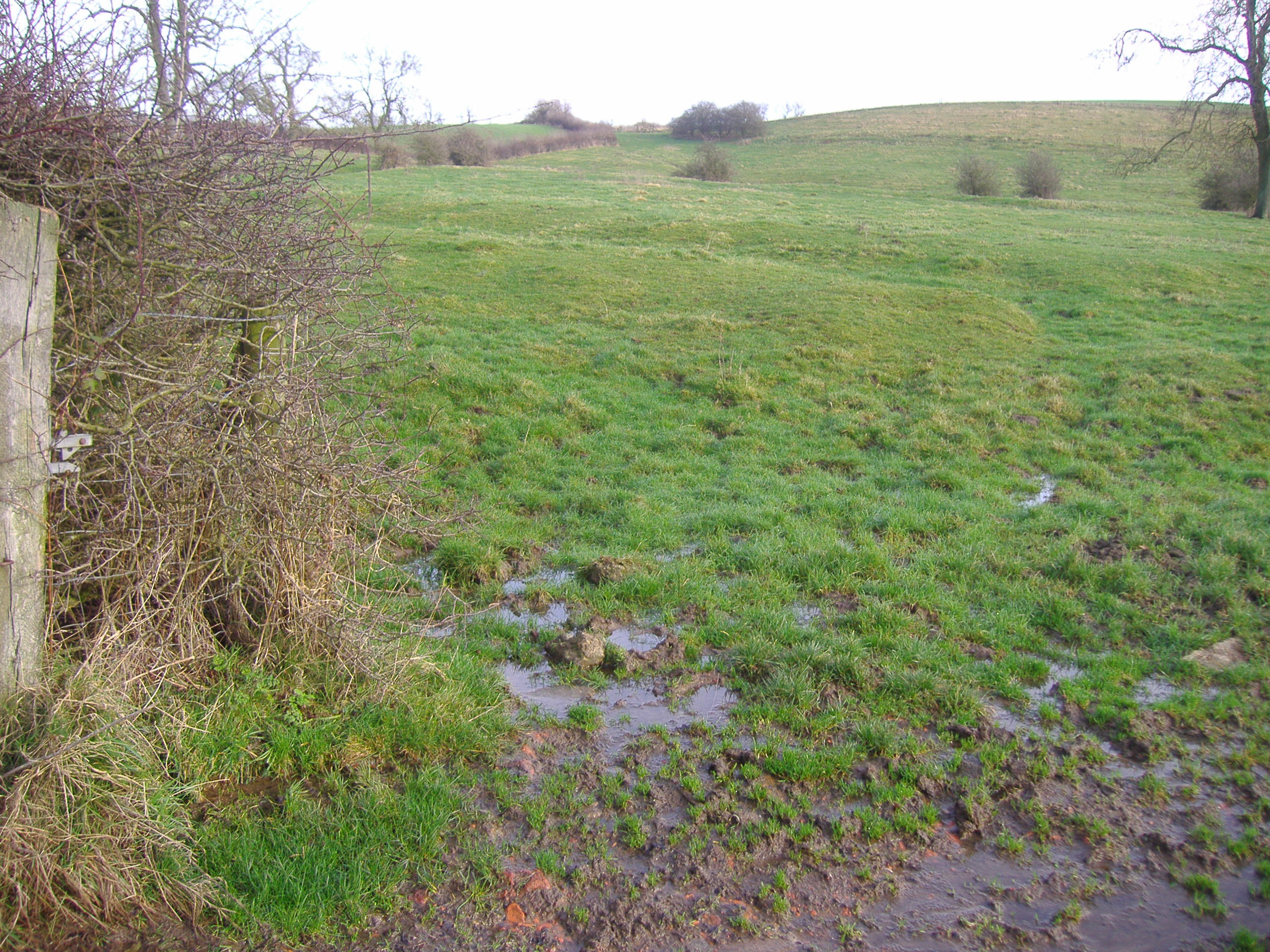
The village of Braunston Cleves or Fawcliff is a deserted medieval village that stood north of the village of Braunston in the English county of Northamptonshire at its border with Warwickshire. It has long been a "lost village", having no standing buildings, but its position and the topography of its street and houses can be traced from the irregularities of the ground where it once stood. It was on the southwest slope of Cleve's Hill within Braunston parish and appears to have been occupied in late Anglo-Saxon and early post-Conquest times. It is unknown why the village was deserted, but it had certainly been destroyed by the 18th century.
- Category
- Urbex & Abandoned
- Location
- Braunston, United Kingdom
- Coordinates
- 52.30830, -1.20278
- How to get there
- Google MapsApple MapsOpenStreetMap
- Wikidata
- Q4958284
What is Braunston Cleves or Fawcliff?
Braunston Cleves or Fawcliff is a Urbex & Abandoned place on VeroMaps. Other places close by: Guy Fawkes House, Bilton Hall, Althorp, Brinklow Castle.
Where is Braunston Cleves or Fawcliff?
Braunston Cleves or Fawcliff is in Braunston, United Kingdom. Coordinates: 52.30830, -1.20278.
How do I get to Braunston Cleves or Fawcliff?
Braunston Cleves or Fawcliff is at Braunston, United Kingdom (52.30830, -1.20278). Enter these coordinates in Google Maps, Apple Maps or OpenStreetMap for walking, cycling or driving directions.