Urbex & Abandoned
Brandon Castle
Brandon, United Kingdom
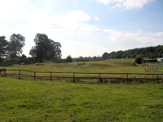
Brandon Castle was sited overlooking the River Avon between the virtually adjacent villages of Brandon and Wolston in Warwickshire, which in turn lie between the town of Rugby and city of Coventry (grid reference SP408759). It was originally a 12th-century earthwork motte and bailey fortress founded by Geoffrey de Clinton.
- Category
- Urbex & Abandoned
- Location
- Brandon, United Kingdom
- Coordinates
- 52.37970, -1.40336
- How to get there
- Google MapsApple MapsOpenStreetMap
- Wikidata
- Q4956795
What is Brandon Castle?
Brandon Castle is a Urbex & Abandoned place on VeroMaps. Other places close by: Brandon Marsh, Coombe Abbey, Brinklow Castle, Caludon Castle.
Where is Brandon Castle?
Brandon Castle is in Brandon, United Kingdom. Coordinates: 52.37970, -1.40336.
How do I get to Brandon Castle?
Brandon Castle is at Brandon, United Kingdom (52.37970, -1.40336). Enter these coordinates in Google Maps, Apple Maps or OpenStreetMap for walking, cycling or driving directions.