Photo corners
Blakesley Hall
Oxford, United Kingdom
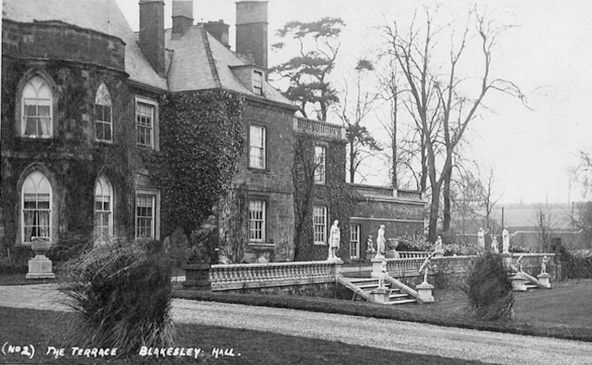
Blakesley Hall was a 13th-century manor house situated near the village of Blakesley in Northamptonshire, England. It was demolished in 1957-58.
- Category
- Photo Spots
- Location
- Oxford, United Kingdom
- Coordinates
- 52.14500, -1.09500
- How to get there
- Google MapsApple MapsOpenStreetMap
- Wikidata
- Q4924645
What is Blakesley Hall?
Blakesley Hall is a Photo Spots place on VeroMaps. Other places close by: Astwell Castle, Gayton Manor House, Blisworth Rectory Farm Quarry, Edgcote House.
Where is Blakesley Hall?
Blakesley Hall is in Oxford, United Kingdom. Coordinates: 52.14500, -1.09500.
How do I get to Blakesley Hall?
Blakesley Hall is at Oxford, United Kingdom (52.14500, -1.09500). Enter these coordinates in Google Maps, Apple Maps or OpenStreetMap for walking, cycling or driving directions.