Photo corners
Brandon Marsh
Warwickshire, United Kingdom
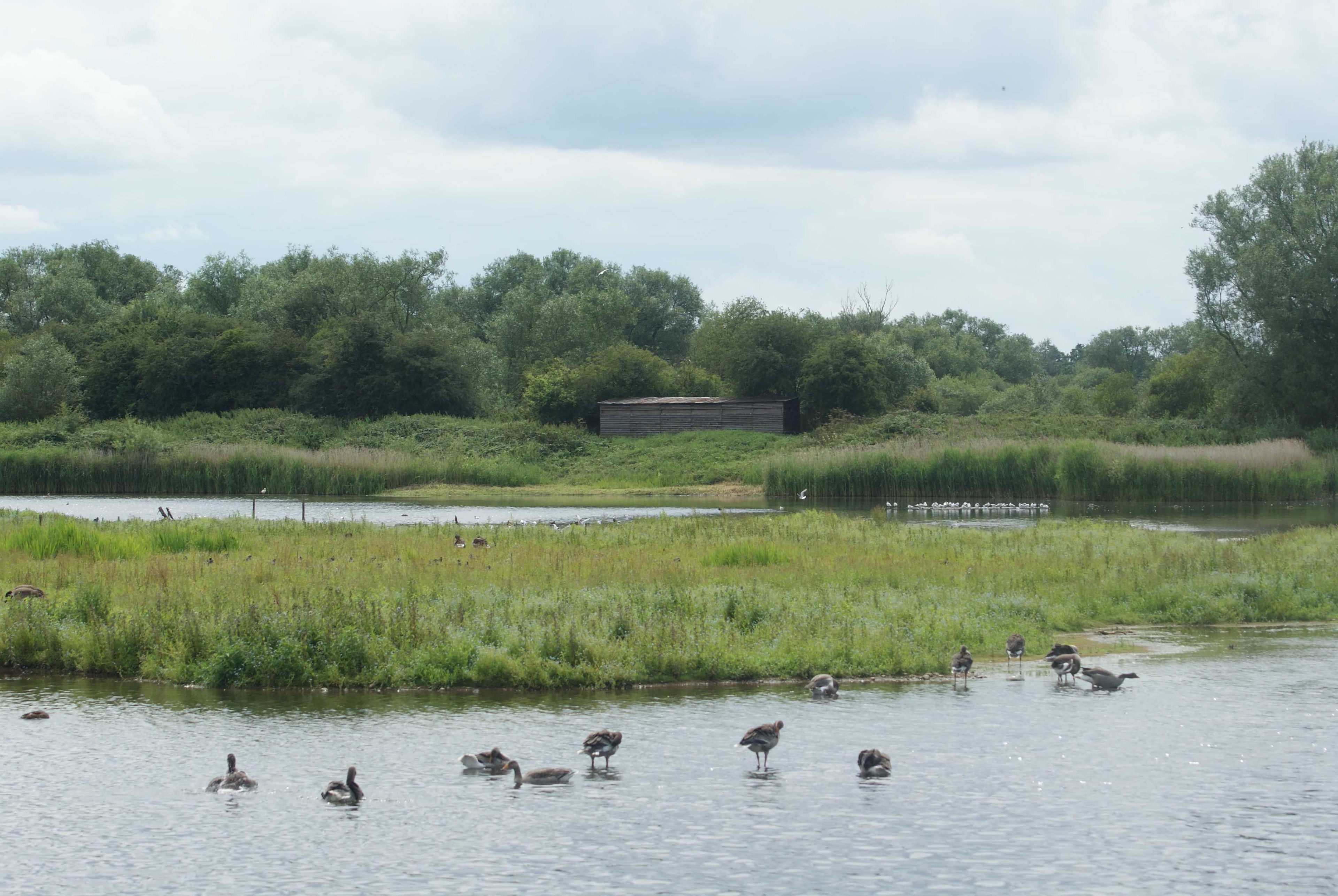
Brandon Marsh is a Site of Special Scientific Interest (SSSI) and nature reserve in Warwickshire, England. It is situated adjacent to the River Avon, near the village of Brandon, a few miles east of Coventry. The reserve is also the headquarters of the Warwickshire Wildlife Trust. Formerly used for sand and gravel quarrying, the 92 hectares (230 acres) site is owned by French industrial company LaFarge Industries and is leased to the Trust. Today, Brandon Marsh is a mixture of flooded gravel pits, fen, scrubland, reedbeds and woodland, much of which is uncommon habitat for the local area. The site is particularly important for birdlife, with a wide range of breeding and wintering birds—237 different species had been recorded up to the end of 2018. The reserve also supports a variety of mammals and insects, over 500 species of plant, and more than 570 species of fungi. The nature reserve and Visitor Centre are open to the public seven days a week.
- Category
- Photo Spots
- Location
- Warwickshire, United Kingdom
- Coordinates
- 52.37620, -1.43587
- How to get there
- Google MapsApple MapsOpenStreetMap
- Wikidata
- Q4956958
What is Brandon Marsh?
Brandon Marsh is a Photo Spots place on VeroMaps. Other places close by: Brandon Castle, The Biggin Hall, Coombe Abbey, Caludon Castle.
Where is Brandon Marsh?
Brandon Marsh is in Warwickshire, United Kingdom. Coordinates: 52.37620, -1.43587.
How do I get to Brandon Marsh?
Brandon Marsh is at Warwickshire, United Kingdom (52.37620, -1.43587). Enter these coordinates in Google Maps, Apple Maps or OpenStreetMap for walking, cycling or driving directions.