Urbex & Abandoned
Daw Mill
Birmingham, United Kingdom
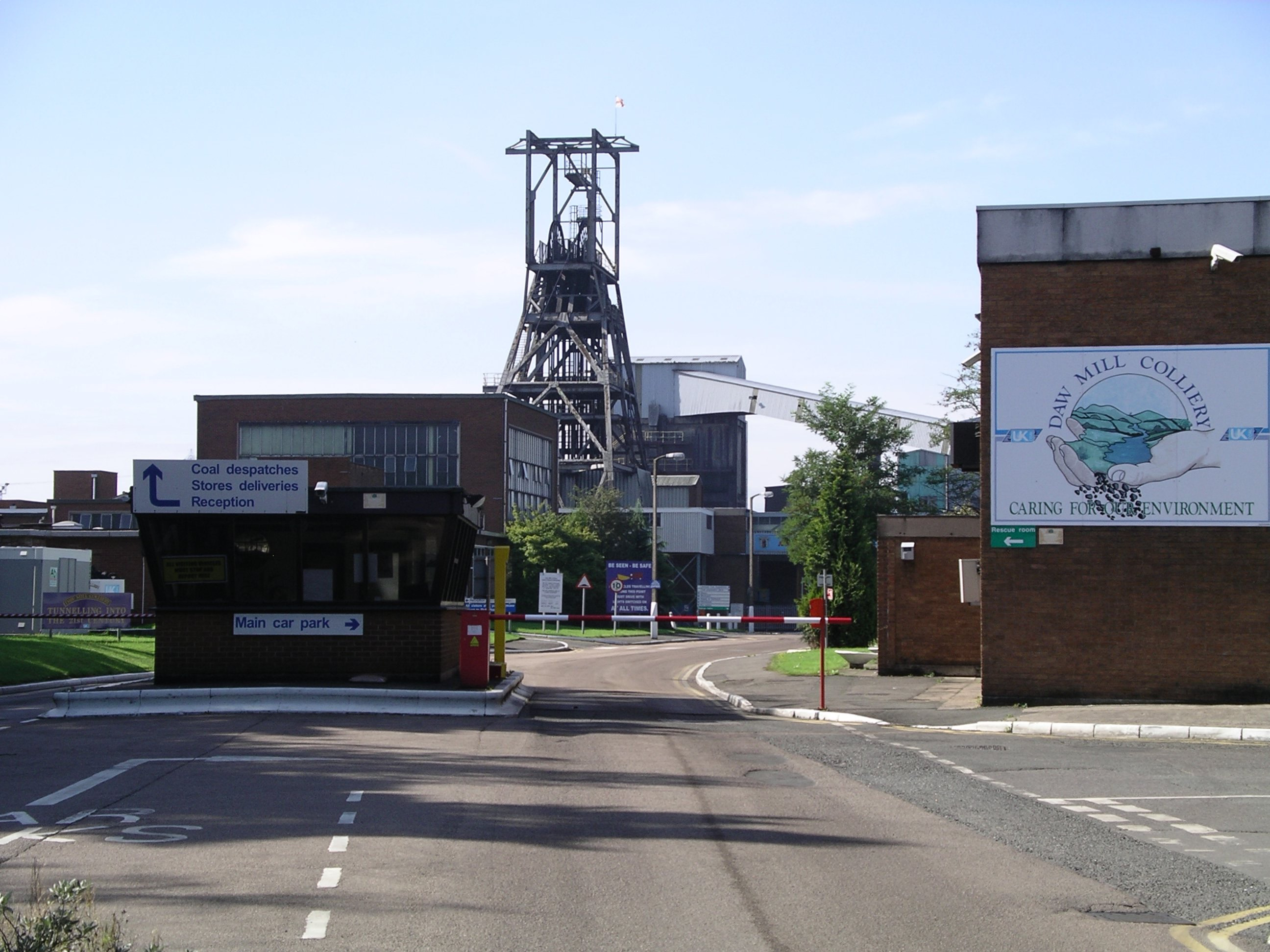
Daw Mill was a coal mine located near the village of Arley, near Nuneaton, in the English county of Warwickshire. The mine was Britain's biggest coal producer. It closed in 2013 following a major fire. It was the last remaining colliery in the West Midlands.
- Category
- Urbex & Abandoned
- Location
- Birmingham, United Kingdom
- Coordinates
- 52.50640, -1.61778
- How to get there
- Google MapsApple MapsOpenStreetMap
- Wikidata
- Q5242253
What is Daw Mill?
Daw Mill is a Urbex & Abandoned place on VeroMaps. Other places close by: Astley Castle, Forest of Arden Hotel and Country Club, The Belfry Hotel & Resort, Bedworth Civic Hall.
Where is Daw Mill?
Daw Mill is in Birmingham, United Kingdom. Coordinates: 52.50640, -1.61778.
How do I get to Daw Mill?
Daw Mill is at Birmingham, United Kingdom (52.50640, -1.61778). Enter these coordinates in Google Maps, Apple Maps or OpenStreetMap for walking, cycling or driving directions.