Urbex & Abandoned
Stowe
Buckinghamshire, United Kingdom
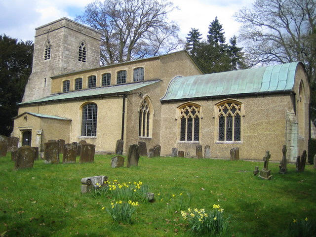
Stowe is a civil parish and former village about two miles (three kilometres) northwest of Buckingham in the unitary authority area of Buckinghamshire, England. The parish includes the hamlets of Boycott, Dadford and Lamport. Stowe House is a Grade I listed country house in the parish and is occupied by Stowe School.
- Category
- Urbex & Abandoned
- Location
- Buckinghamshire, United Kingdom
- Coordinates
- 52.01800, -1.01700
- How to get there
- Google MapsApple MapsOpenStreetMap
- Wikidata
- Q1003761
What is Stowe?
Stowe is a Urbex & Abandoned place on VeroMaps. Other places close by: Stowe House, Coombs Quarry, Astwell Castle, Claydon House.
Where is Stowe?
Stowe is in Buckinghamshire, United Kingdom. Coordinates: 52.01800, -1.01700.
How do I get to Stowe?
Stowe is at Buckinghamshire, United Kingdom (52.01800, -1.01700). Enter these coordinates in Google Maps, Apple Maps or OpenStreetMap for walking, cycling or driving directions.