Urbex & Abandoned
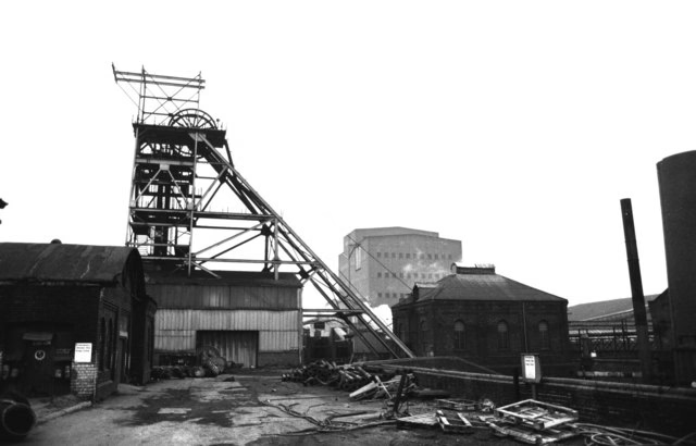
Orgreave Colliery
United Kingdom
Orgreave Colliery was a coal mine situated adjacent to the main line of the Manchester, Sheffield and Lincolnshire Railway about 5 miles (8 km) east of Sheffield and 3. 5 miles (6 km) south west of Rotherham. The colliery is within the parish of Orgreave, from which it takes its name.
- Category
- Urbex & Abandoned
- Location
- United Kingdom
- Coordinates
- 53.37920, -1.36469
- How to get there
- Google MapsApple MapsOpenStreetMap
- Wikidata
- Q7102145
What is Orgreave Colliery?
Orgreave Colliery is a Urbex & Abandoned place on VeroMaps. Other places close by: Cross Daggers, Parkway Man, Sheffield Castle, The Leadmill.
Where is Orgreave Colliery?
Orgreave Colliery is in United Kingdom. Coordinates: 53.37920, -1.36469.
How do I get to Orgreave Colliery?
Orgreave Colliery is at United Kingdom (53.37920, -1.36469). Enter these coordinates in Google Maps, Apple Maps or OpenStreetMap for walking, cycling or driving directions.