Photo corners
Wansford Pasture
United Kingdom
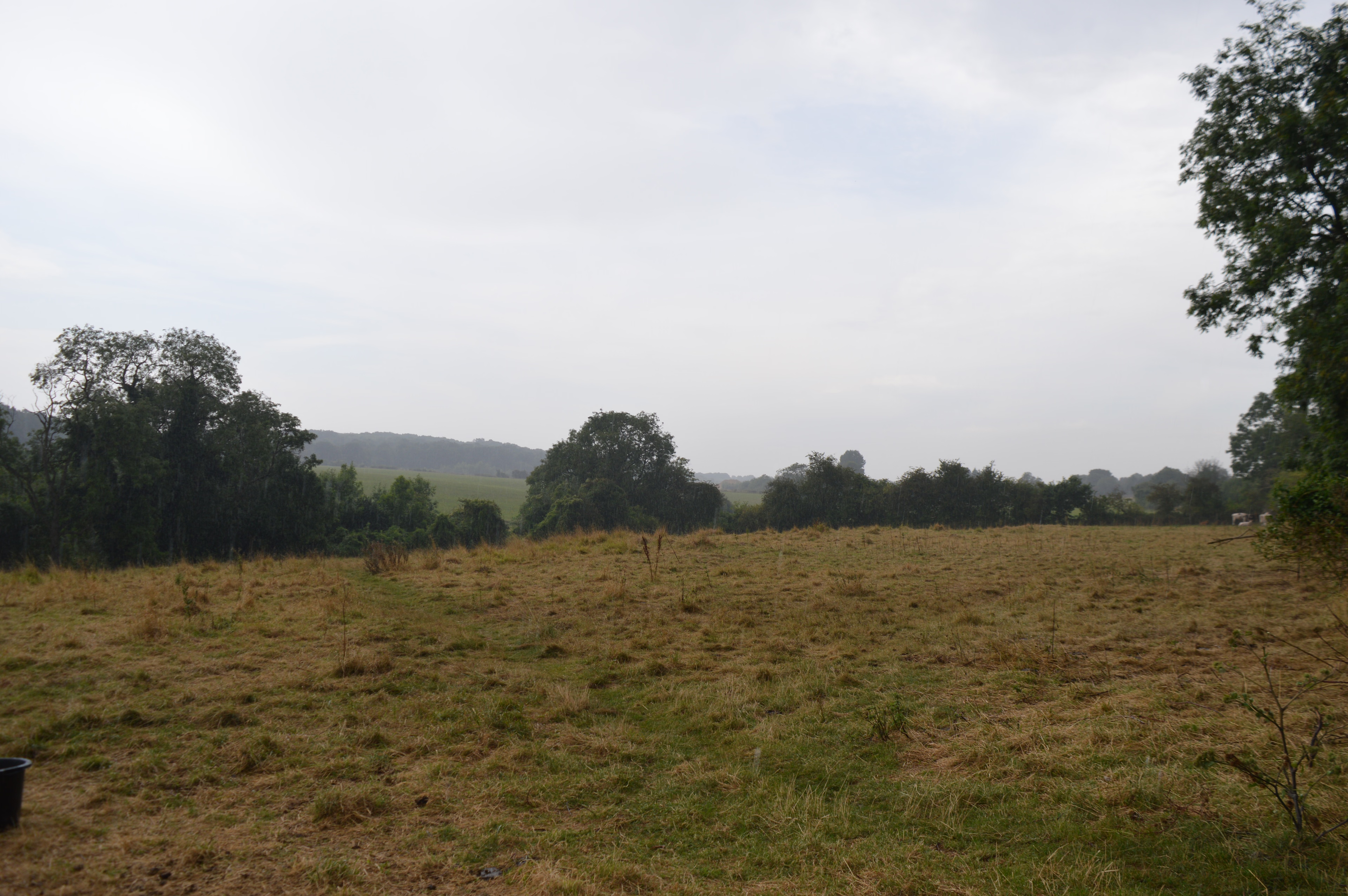
Wansford Pasture is a 3.1-hectare (7.7-acre) biological Site of Special Scientific Interest in Wansford in Cambridgeshire. It is part of the 7.3 hectare Wansford Pasture & Standen's Pasture, a nature reserve managed by the Wildlife Trust for Bedfordshire, Cambridgeshire and Northamptonshire (WTBCN). This is a south-facing slope, with Jurassic limestone grassland and a flush lower down which has a wide variety of wet-loving plants, including some which are rare in the county. The ecology is maintained by avoiding the use of fertilisers and herbicides, and by grazing. The WTBCN was enlarged by the donation of Standen's Pasture in 2007. There is access to the site from Old Leicester Road.
- Category
- Photo Spots
- Location
- United Kingdom
- Coordinates
- 52.58200, -0.42300
- How to get there
- Google MapsApple MapsOpenStreetMap
- Wikidata
- Q7968083
What is Wansford Pasture?
Wansford Pasture is a Photo Spots place on VeroMaps. Other places close by: Southorpe Paddock, Southorpe Meadow, Barnack Hills & Holes National Nature Reserve, Castor Hanglands National Nature Reserve.
Where is Wansford Pasture?
Wansford Pasture is in United Kingdom. Coordinates: 52.58200, -0.42300.
How do I get to Wansford Pasture?
Wansford Pasture is at United Kingdom (52.58200, -0.42300). Enter these coordinates in Google Maps, Apple Maps or OpenStreetMap for walking, cycling or driving directions.