Photo corners
Southorpe Paddock
United Kingdom
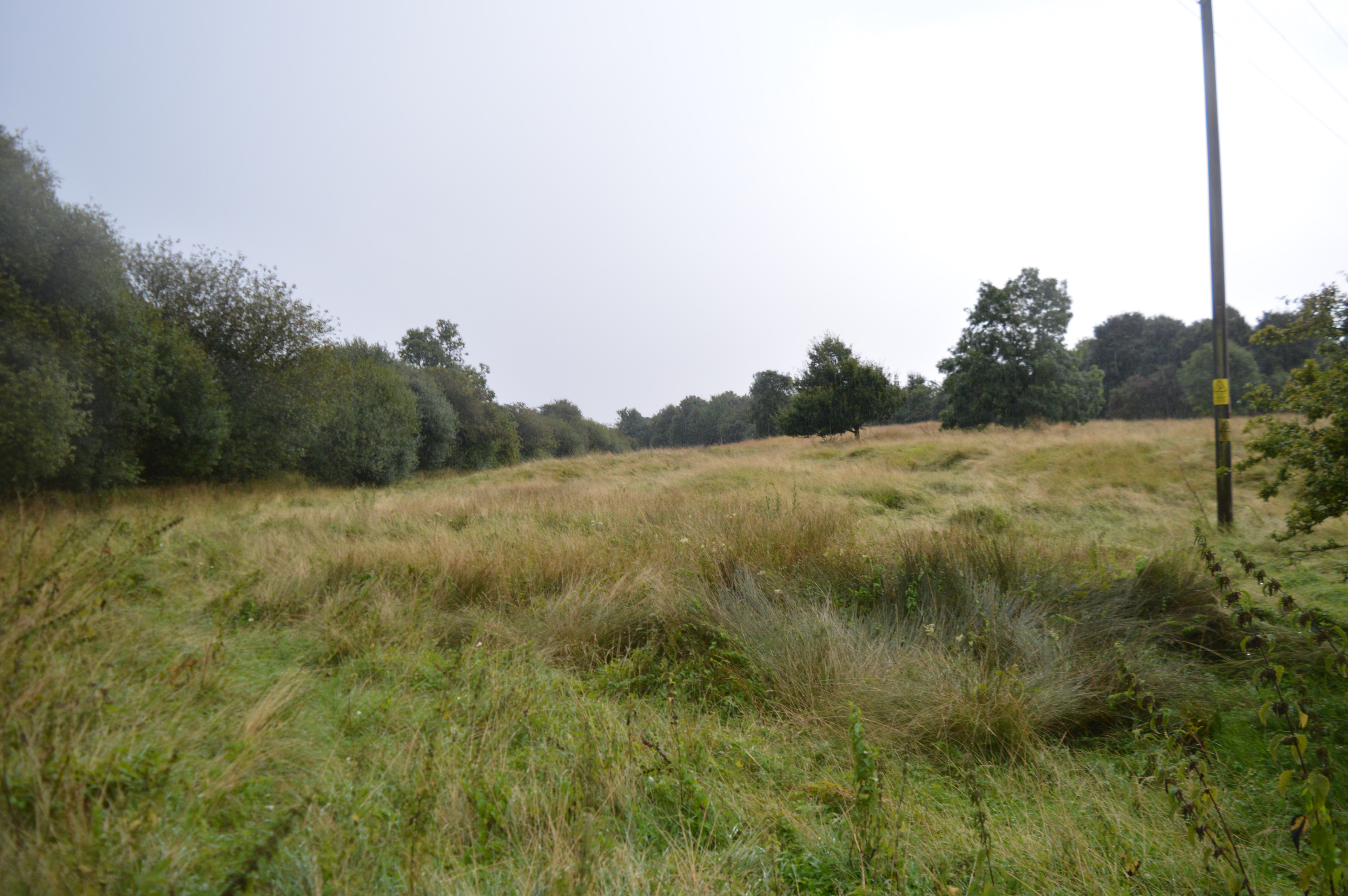
Southorpe Paddock is a 1.6-hectare (4.0-acre) Site of Special Scientific Interest south of Southorpe in Cambridgeshire. It is managed by the Wildlife Trust for Bedfordshire, Cambridgeshire and Northamptonshire. This site is a rare example of unimproved grassland on the Jurassic limestone of eastern England. It has typical limestone plants such as purple milk-vetch and clustered bellflower. Mature hedgerows provide additional habitats for wildlife. There is access from the road south from Southorpe.
- Category
- Photo Spots
- Location
- United Kingdom
- Coordinates
- 52.60600, -0.40040
- How to get there
- Google MapsApple MapsOpenStreetMap
- Wikidata
- Q7570924
What is Southorpe Paddock?
Southorpe Paddock is a Photo Spots place on VeroMaps. Other places close by: Southorpe Meadow, Barnack Hills & Holes National Nature Reserve, Wansford Pasture, Castor Hanglands National Nature Reserve.
Where is Southorpe Paddock?
Southorpe Paddock is in United Kingdom. Coordinates: 52.60600, -0.40040.
How do I get to Southorpe Paddock?
Southorpe Paddock is at United Kingdom (52.60600, -0.40040). Enter these coordinates in Google Maps, Apple Maps or OpenStreetMap for walking, cycling or driving directions.