Photo corners
Southorpe Meadow
United Kingdom
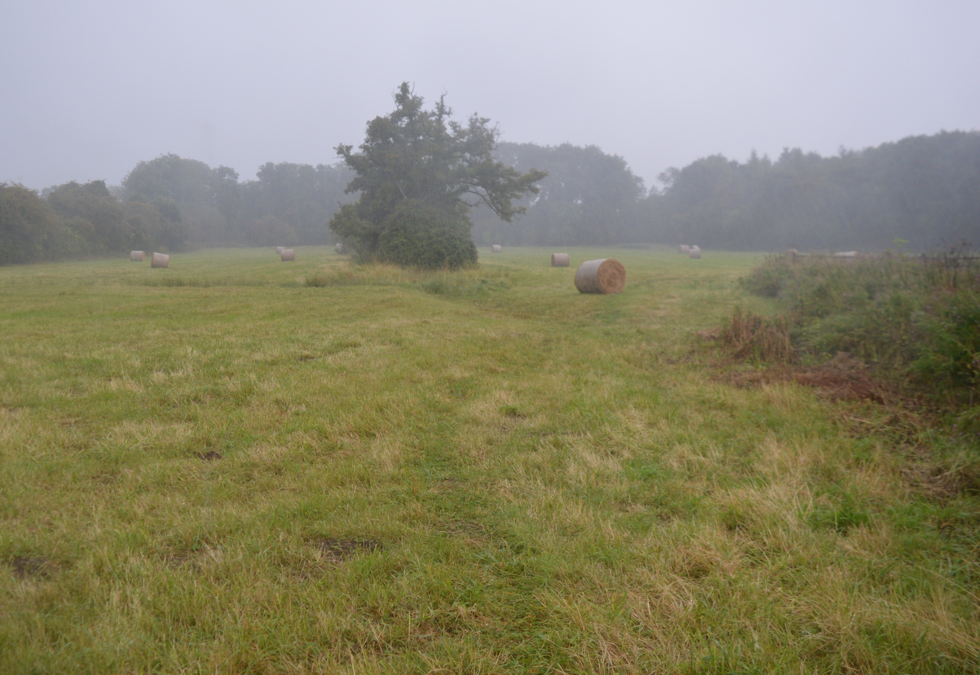
Southorpe Meadow is a 2 hectares (4.9 acres) biological Site of Special Scientific Interest in Southorpe in Cambridgeshire. It is managed by the Wildlife Trust for Bedfordshire, Cambridgeshire and Northamptonshire. This is one of the few surviving areas of neutral grassland in the county, where ridge and furrow from medieval ploughing can be seen. There is a rich variety of species, such as red fescue in drier areas, and salad burnet in damper ones. There is access from Main Street.
- Category
- Photo Spots
- Location
- United Kingdom
- Coordinates
- 52.61530, -0.40150
- How to get there
- Google MapsApple MapsOpenStreetMap
- Wikidata
- Q7570923
What is Southorpe Meadow?
Southorpe Meadow is a Photo Spots place on VeroMaps. Other places close by: Southorpe Paddock, Barnack Hills & Holes National Nature Reserve, Wansford Pasture, Castor Hanglands National Nature Reserve.
Where is Southorpe Meadow?
Southorpe Meadow is in United Kingdom. Coordinates: 52.61530, -0.40150.
How do I get to Southorpe Meadow?
Southorpe Meadow is at United Kingdom (52.61530, -0.40150). Enter these coordinates in Google Maps, Apple Maps or OpenStreetMap for walking, cycling or driving directions.