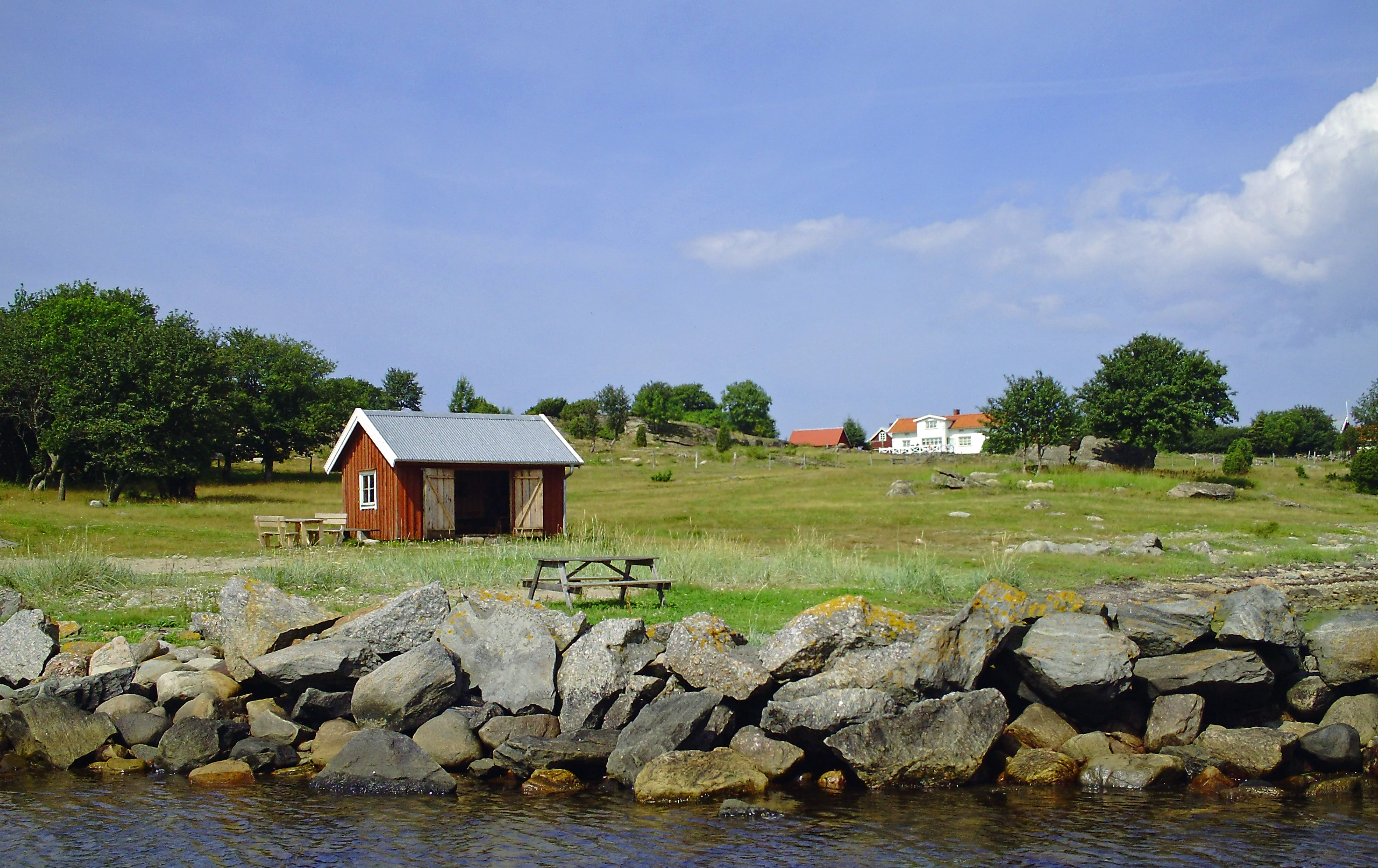
Photo corners
Vendelsöarna
Varberg Municipality, Sweden
Vendelsöarna ("Vendelsö islands") is an archipelago and a nature reserve in Varberg Municipality, Sweden, near the border with Kungsbacka Municipality. The reserve consists of the northern part of the main island Vendelsö and the surrounding islands Brattö, Norstön, Kidholmen, and Älmö.
- Category
- Photo Spots
- Location
- Varberg Municipality, Sweden
- Coordinates
- 57.29991, 12.10056
- How to get there
- Google MapsApple MapsOpenStreetMap
- Wikidata
- Q5244280
What is Vendelsöarna?
Vendelsöarna is a Photo Spots place on VeroMaps. Other places close by: Biskopshagen, Hunehals, Fjärås Bräcka, Gamla Varberg.
Where is Vendelsöarna?
Vendelsöarna is in Varberg Municipality, Sweden. Coordinates: 57.29991, 12.10056.
How do I get to Vendelsöarna?
Vendelsöarna is at Varberg Municipality, Sweden (57.29991, 12.10056). Enter these coordinates in Google Maps, Apple Maps or OpenStreetMap for walking, cycling or driving directions.