Photo corners
Fladen
Varberg Municipality, Sweden
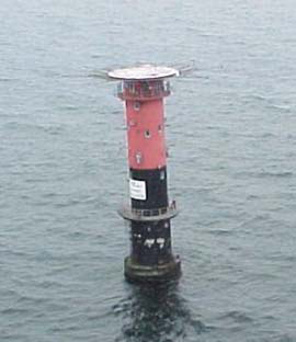
Fladen grund oder vereinfacht Fladen ist eine Untiefe auf der schwedischen Seite des Kattegat in der Provinz Hallands län. Das artenreiche Gebiet ist ein Natura-2000-Gebiet.
- Category
- Photo Spots
- Location
- Varberg Municipality, Sweden
- Coordinates
- 57.21542, 11.82836
- How to get there
- Google MapsApple MapsOpenStreetMap
- Wikidata
- Q1426334
What is Fladen?
Fladen is a Photo Spots place on VeroMaps. Other places close by: Biskopshagen, Vendelsöarna, Western Getterön Nature Reserve, Gamla Varberg.
Where is Fladen?
Fladen is in Varberg Municipality, Sweden. Coordinates: 57.21542, 11.82836.
How do I get to Fladen?
Fladen is at Varberg Municipality, Sweden (57.21542, 11.82836). Enter these coordinates in Google Maps, Apple Maps or OpenStreetMap for walking, cycling or driving directions.