Photo corners
Skärbäck
Varberg Municipality, Sweden
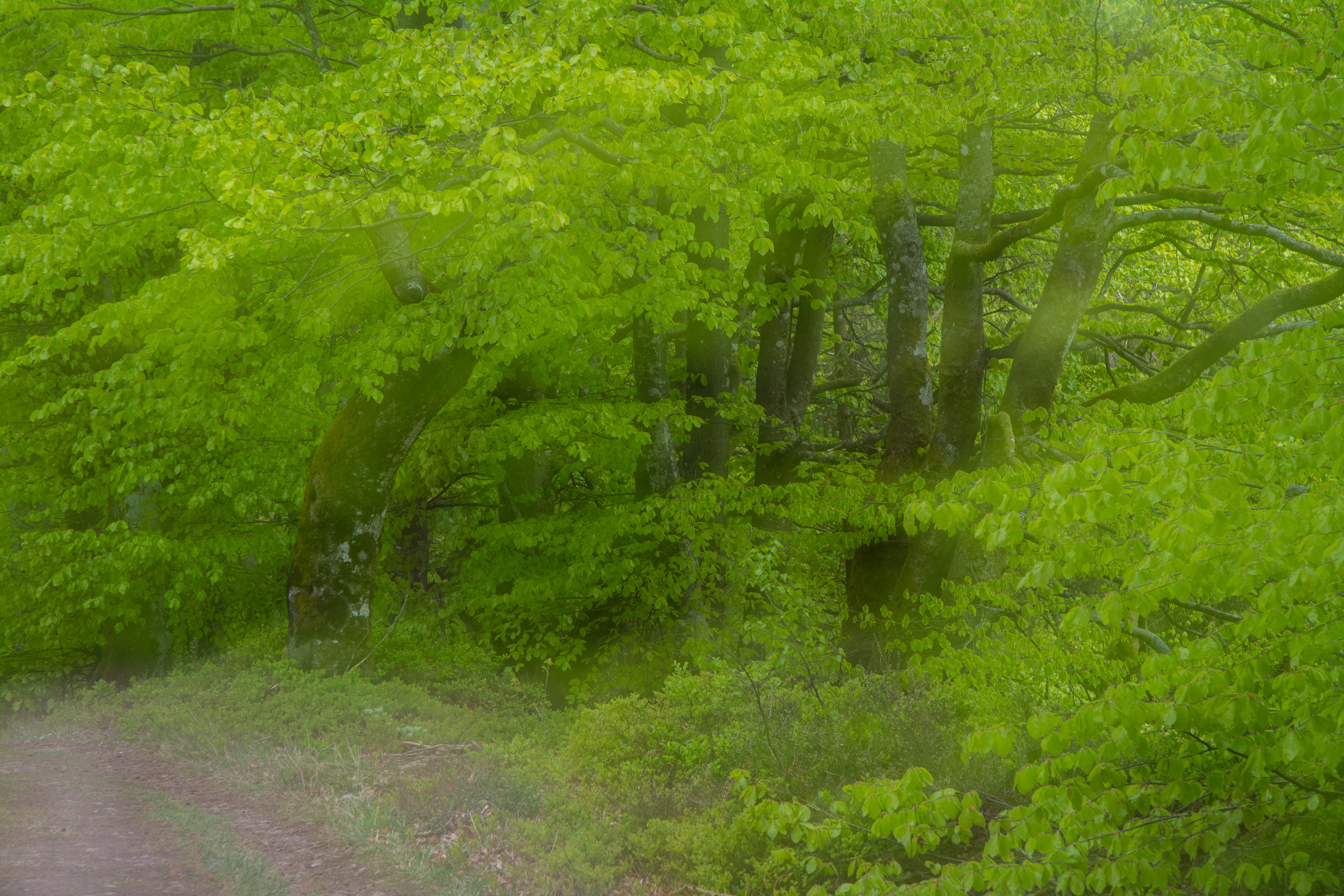
Skärbäck is a nature reserve in Varberg Municipality, Sweden. It's situated between the lakes Skärsjön, Humsjön and Grytsjön. The reserve has an area of 98 hectares and is dominated by broad-leaved deciduous forest. It was established in 1978. The area has been dominated by beech forest for at least 1,000 years. In the 19th century, much of the forests in Halland were felled, but not at Skärbäck. One reason may have been that the area was owned by the nobility until 1892. Felling of forest on the land of the nobility was surrounded by restrictions. In the forests of Skärbäck, there are many rare species, for example different lichens. There are also birds like stock pigeon and hawfinch.
- Category
- Photo Spots
- Location
- Varberg Municipality, Sweden
- Coordinates
- 57.08902, 12.52518
- How to get there
- Google MapsApple MapsOpenStreetMap
- Wikidata
- Q7538186
What is Skärbäck?
Skärbäck is a Photo Spots place on VeroMaps. Other places close by: Sumpafallen, Floastad, Dolmen von Klastorp, Bengtesgård meadow.
Where is Skärbäck?
Skärbäck is in Varberg Municipality, Sweden. Coordinates: 57.08902, 12.52518.
How do I get to Skärbäck?
Skärbäck is at Varberg Municipality, Sweden (57.08902, 12.52518). Enter these coordinates in Google Maps, Apple Maps or OpenStreetMap for walking, cycling or driving directions.