Forgotten History
Trutzbingen
Munster-Sarmsheim, Germany
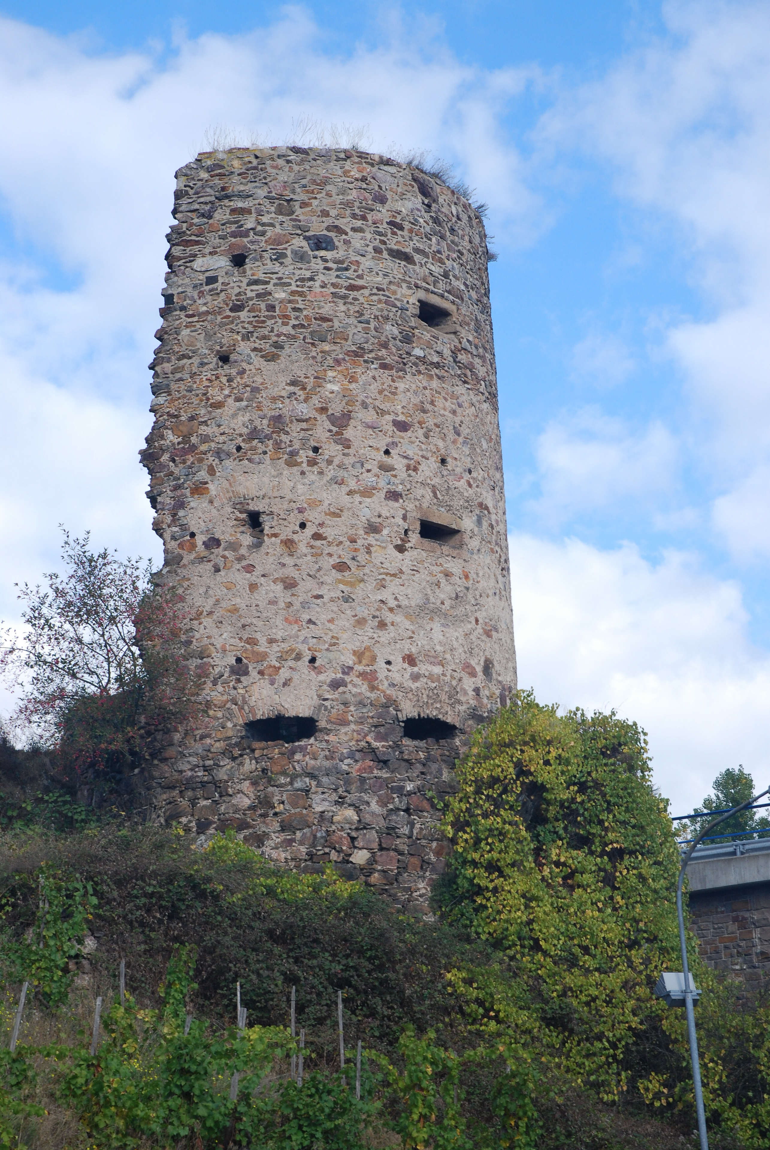
Trutzbingen is the ruin of a round tower on the road leaving Münster-Sarmsheim in the direction of Bingen am Rhein, Rhineland-Palatinate, Germany. It is the remnant of a tariff barrier, which was built in 1493. Only one half of the outer wall of the round tower remains. Since 2002, Trutzbingen has been part of the UNESCO World Heritage Site Rhine Gorge.
- Category
- Forgotten History
- Location
- Munster-Sarmsheim, Germany
- Coordinates
- 49.95390, 7.89406
- How to get there
- Google MapsApple MapsOpenStreetMap
- Wikidata
- Q633018
What is Trutzbingen?
Trutzbingen is a Forgotten History place on VeroMaps. Other places close by: Drususbrücke, Kloster Rupertsberg, Ehrenfels Castle, St. Roch's Chapel, Bingen (Rhine).
Where is Trutzbingen?
Trutzbingen is in Munster-Sarmsheim, Germany. Coordinates: 49.95390, 7.89406.
How do I get to Trutzbingen?
Trutzbingen is at Munster-Sarmsheim, Germany (49.95390, 7.89406). Enter these coordinates in Google Maps, Apple Maps or OpenStreetMap for walking, cycling or driving directions.