Urbex & Abandoned
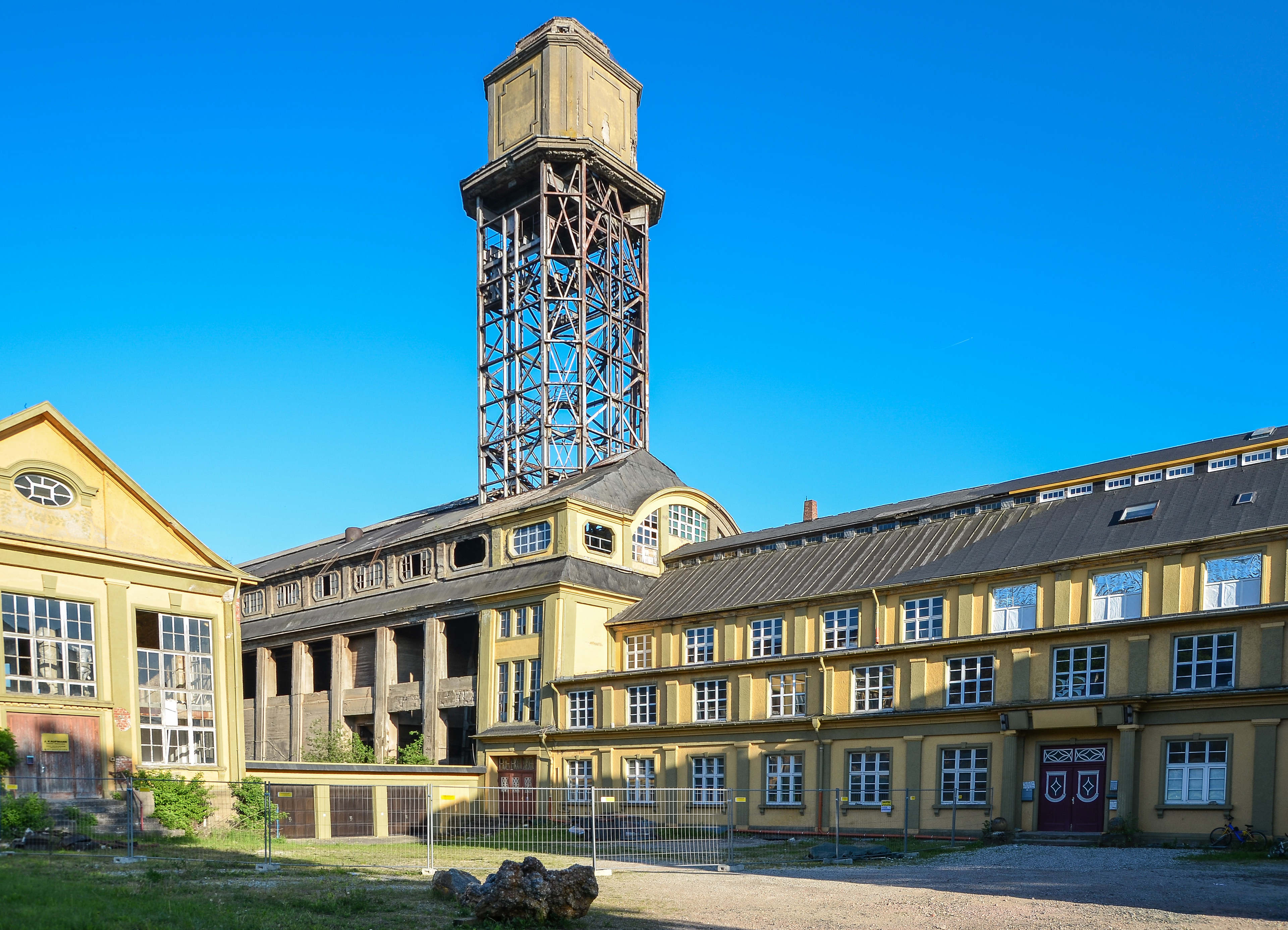
Grube Amalienhöhe
Waldalgesheim, Germany
Die Grube Amalienhöhe (auch Grube Dr. Geier) liegt oberhalb von Waldalgesheim bei Bingen am Rande des Hunsrücks. Das denkmalgeschützte ehemalige Mangan- und Dolomitbergwerk ist durch seine Architektur einzigartig unter den Industriedenkmälern Deutschlands. Seit 2002 ist die Grube Amalienhöhe Teil des UNESCO-Welterbes Oberes Mittelrheintal.
- Category
- Urbex & Abandoned
- Location
- Waldalgesheim, Germany
- Coordinates
- 49.95890, 7.83883
- How to get there
- Google MapsApple MapsOpenStreetMap
- Wikidata
- Q1549851
What is Grube Amalienhöhe?
Grube Amalienhöhe is a Urbex & Abandoned place on VeroMaps. Other places close by: Ehrenfels Castle, Kloster Rupertsberg, Burg Layen, Drususbrücke.
Where is Grube Amalienhöhe?
Grube Amalienhöhe is in Waldalgesheim, Germany. Coordinates: 49.95890, 7.83883.
How do I get to Grube Amalienhöhe?
Grube Amalienhöhe is at Waldalgesheim, Germany (49.95890, 7.83883). Enter these coordinates in Google Maps, Apple Maps or OpenStreetMap for walking, cycling or driving directions.