Forgotten History
Gollenfels
Stromberg, Germany
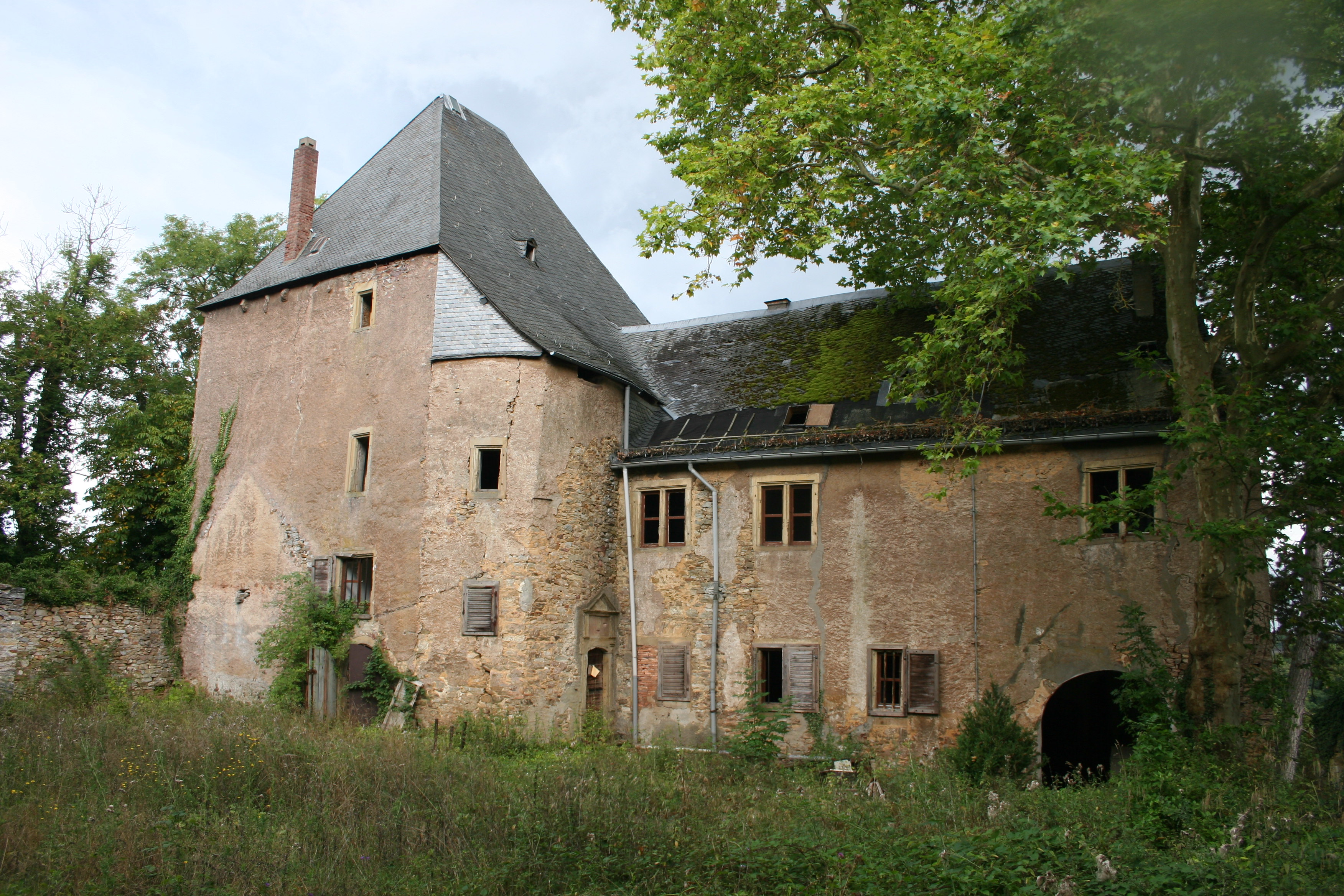
Die Burg Gollenfels ist eine Felsenburg auf dem „Gollenfels“ über dem Guldenbachtal auf 285 m ü. NN am Rande des Soonwalds gegenüber der Stromburg in der Gemarkung Dörrebach bei Stromberg im Hunsrück im Landkreis Bad Kreuznach.
- Category
- Forgotten History
- Location
- Stromberg, Germany
- Coordinates
- 49.94460, 7.76860
- How to get there
- Google MapsApple MapsOpenStreetMap
- Wikidata
- Q1011994
What is Gollenfels?
Gollenfels is a Forgotten History place on VeroMaps. Other places close by: Burg Pfarrköpfchen, Grube Amalienhöhe, Karlsburg, Salzkopf Tower.
Where is Gollenfels?
Gollenfels is in Stromberg, Germany. Coordinates: 49.94460, 7.76860.
How do I get to Gollenfels?
Gollenfels is at Stromberg, Germany (49.94460, 7.76860). Enter these coordinates in Google Maps, Apple Maps or OpenStreetMap for walking, cycling or driving directions.