Photo corners
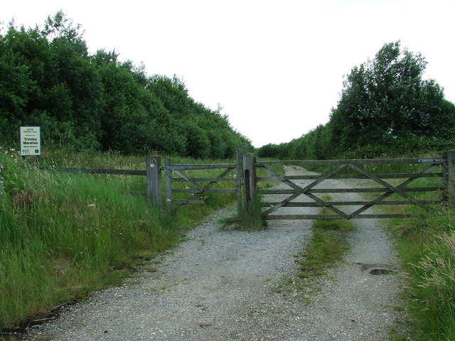
Trimley Marshes
Suffolk, United Kingdom
Trimley Marshes is a 77 hectare nature reserve west of Trimley St Mary, on the outskirts of Felixstowe in Suffolk. It is managed by the Suffolk Wildlife Trust.
- Category
- Photo Spots
- Location
- Suffolk, United Kingdom
- Coordinates
- 51.97400, 1.28600
- How to get there
- Google MapsApple MapsOpenStreetMap
- Wikidata
- Q7842241
What is Trimley Marshes?
Trimley Marshes is a Photo Spots place on VeroMaps. Other places close by: The Three Cups, Levington Lagoon, The Butt and Oyster, Kesgrave Hall.
Where is Trimley Marshes?
Trimley Marshes is in Suffolk, United Kingdom. Coordinates: 51.97400, 1.28600.
How do I get to Trimley Marshes?
Trimley Marshes is at Suffolk, United Kingdom (51.97400, 1.28600). Enter these coordinates in Google Maps, Apple Maps or OpenStreetMap for walking, cycling or driving directions.