Photo corners
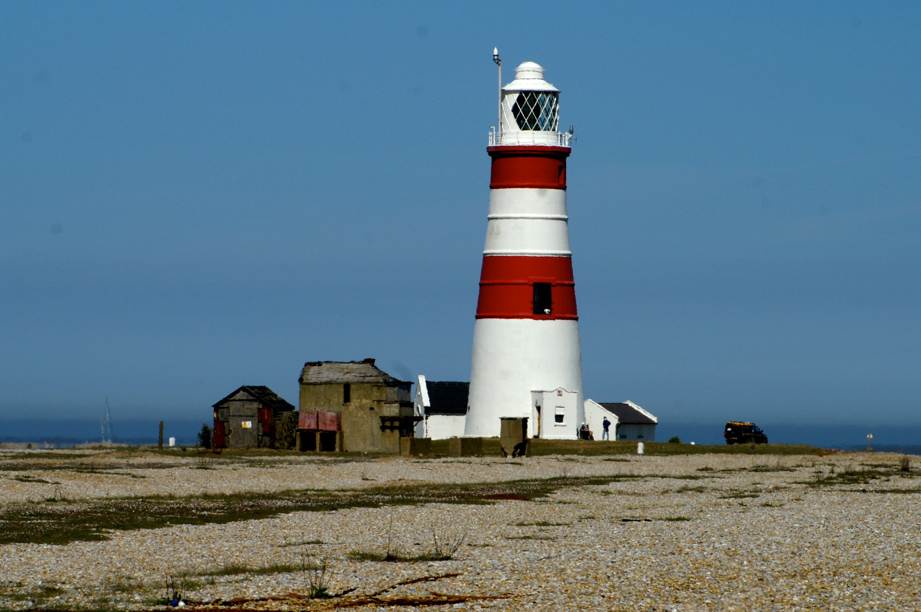
Orfordness Lighthouse
Aldeburgh, United Kingdom
Orfordness Lighthouse was a lighthouse on Orford Ness, in Suffolk, England. The 30-metre (98 ft) tower was completed in 1792. Work began on demolition in July 2020, and was completed in August. The light had a range of 25 nautical miles (46 km; 29 mi). It was equipped with an Automatic Identification System transmitter with Maritime Mobile Service Identity number 992351016.
- Category
- Photo Spots
- Location
- Aldeburgh, United Kingdom
- Coordinates
- 52.08390, 1.57430
- How to get there
- Google MapsApple MapsOpenStreetMap
- Wikidata
- Q15264295
What is Orfordness Lighthouse?
Orfordness Lighthouse is a Photo Spots place on VeroMaps. Other places close by: Orford Castle, Captain's Wood, Hazlewood Marshes, Snape Marshes.
Where is Orfordness Lighthouse?
Orfordness Lighthouse is in Aldeburgh, United Kingdom. Coordinates: 52.08390, 1.57430.
How do I get to Orfordness Lighthouse?
Orfordness Lighthouse is at Aldeburgh, United Kingdom (52.08390, 1.57430). Enter these coordinates in Google Maps, Apple Maps or OpenStreetMap for walking, cycling or driving directions.