Photo corners
Levington Lagoon
United Kingdom
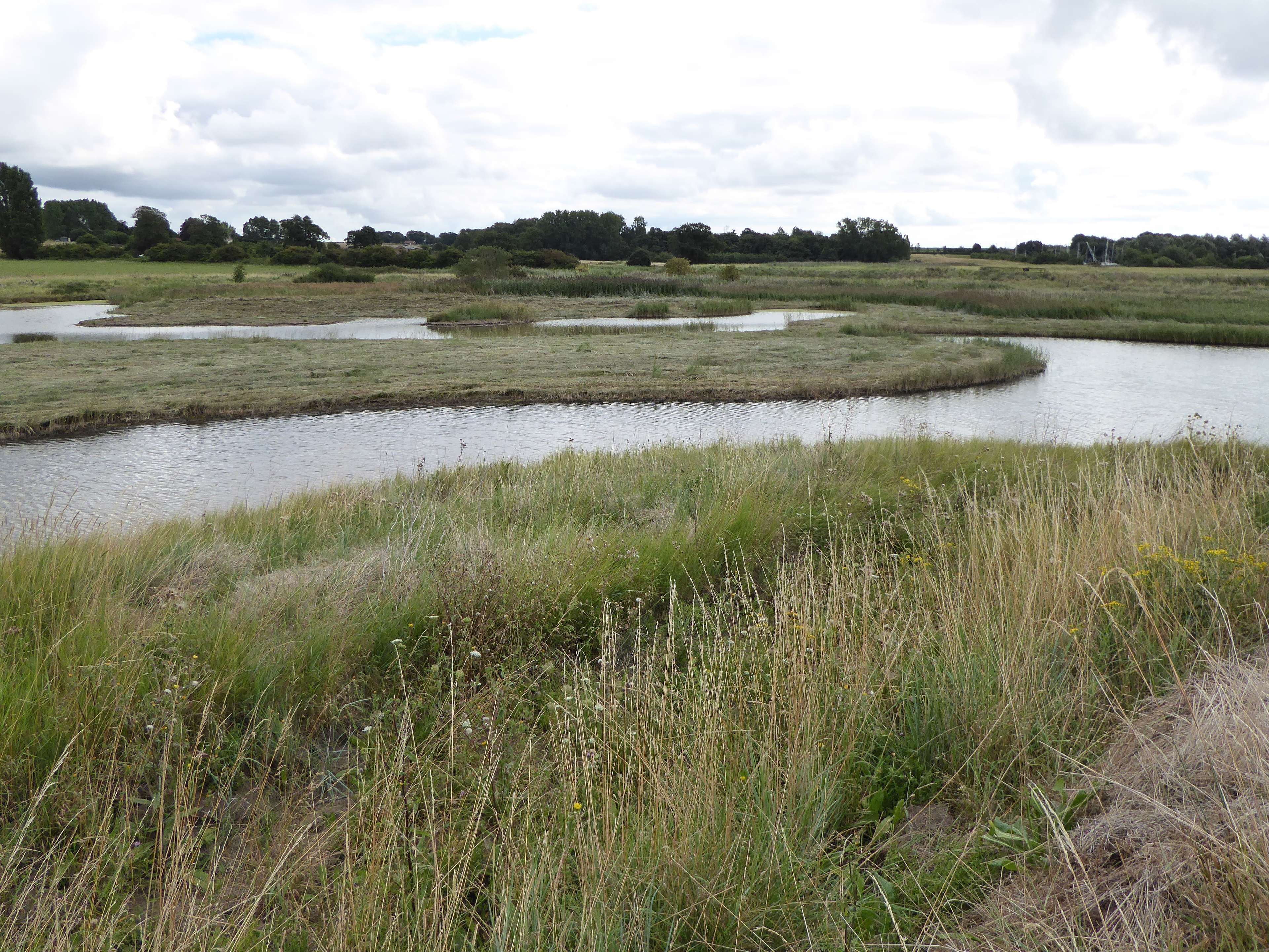
Levington Lagoon is a 5 hectare nature reserve south-east of Levington in Suffolk. It is owned by Suffolk Yacht Harbour Ltd and managed by the Suffolk Wildlife Trust. This area of open water and saltmarsh on the bank of the River Orwell was formed when the sea wall was breached during the North Sea flood of 1953.
- Category
- Photo Spots
- Location
- United Kingdom
- Coordinates
- 51.99920, 1.26130
- How to get there
- Google MapsApple MapsOpenStreetMap
- Wikidata
- Q6535666
What is Levington Lagoon?
Levington Lagoon is a Photo Spots place on VeroMaps. Other places close by: Trimley Marshes, The Butt and Oyster, The Three Cups, The Margaret Catchpole Public House.
Where is Levington Lagoon?
Levington Lagoon is in United Kingdom. Coordinates: 51.99920, 1.26130.
How do I get to Levington Lagoon?
Levington Lagoon is at United Kingdom (51.99920, 1.26130). Enter these coordinates in Google Maps, Apple Maps or OpenStreetMap for walking, cycling or driving directions.