Photo corners
Todhead Lighthouse
Inverbervie, United Kingdom
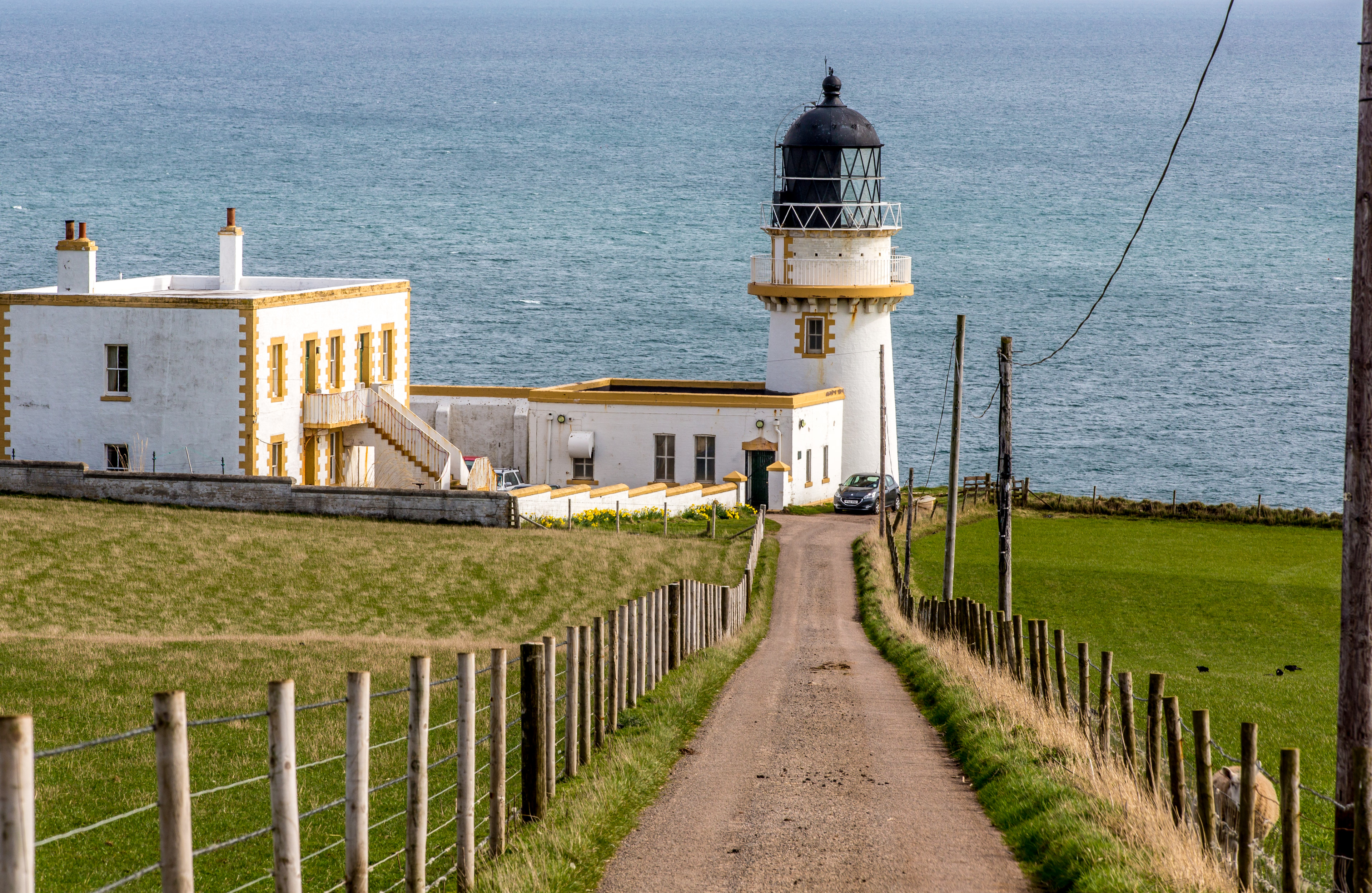
Todhead Lighthouse is a lighthouse in Aberdeenshire, Scotland. The lighthouse is Category B listed. The lighthouse is located south of Stonehaven on the coastline between Kinneff and Catterline. Todhead is said to take its name from the Scots word for a fox (tod).
- Category
- Photo Spots
- Location
- Inverbervie, United Kingdom
- Coordinates
- 56.88391, -2.21533
- How to get there
- Google MapsApple MapsOpenStreetMap
- Wikidata
- Q17774020
What is Todhead Lighthouse?
Todhead Lighthouse is a Photo Spots place on VeroMaps. Other places close by: Dunnottar Castle, Fetteresso Castle, Cowie Castle, Lang Stane of Auquhollie.
Where is Todhead Lighthouse?
Todhead Lighthouse is in Inverbervie, United Kingdom. Coordinates: 56.88391, -2.21533.
How do I get to Todhead Lighthouse?
Todhead Lighthouse is at Inverbervie, United Kingdom (56.88391, -2.21533). Enter these coordinates in Google Maps, Apple Maps or OpenStreetMap for walking, cycling or driving directions.